51 Photos of the Appalachian High Route
Note: This article was originally published on Garage Grown Gear and can be found at the link here.
I’ll always be proud to tell people I was born and raised in Asheville, North Carolina. Black bears stared back at me through the windows of my childhood home, and a mere 3 miles away I was tottering atop fallen trees on the Blue Ridge Parkway before my lips could form the word, “hike”.
I moved away from my hometown in 2022, trading mountains for the Live Music Capital of the World. But, little did I know, my opportunity to explore the magical mountains near where I grew up would come sooner than later.
I learned about the Appalachian High Route in June of this year, and true to thru-hiker form, I immediately scrapped all future hiking plans to focus on this roughly 330-mile loop that provides access to nearly all the 6,000+ foot peaks in the Appalachians.
The route begins and ends in Burnsville, a 40-minute drive from my hometown, and follows Black Mountain Crest Trail for ~13 miles up to Mount Mitchell where it connects to the Mountains-To-Sea Trail for ~155 miles, then switches to the Appalachian Trail for ~135 miles.
The Burnsville Connector then directs hikers along ~26 miles of road-walking and trails to loop them back to the beginning — incidentally, right to the front steps of a thru-hiker owned brewery.
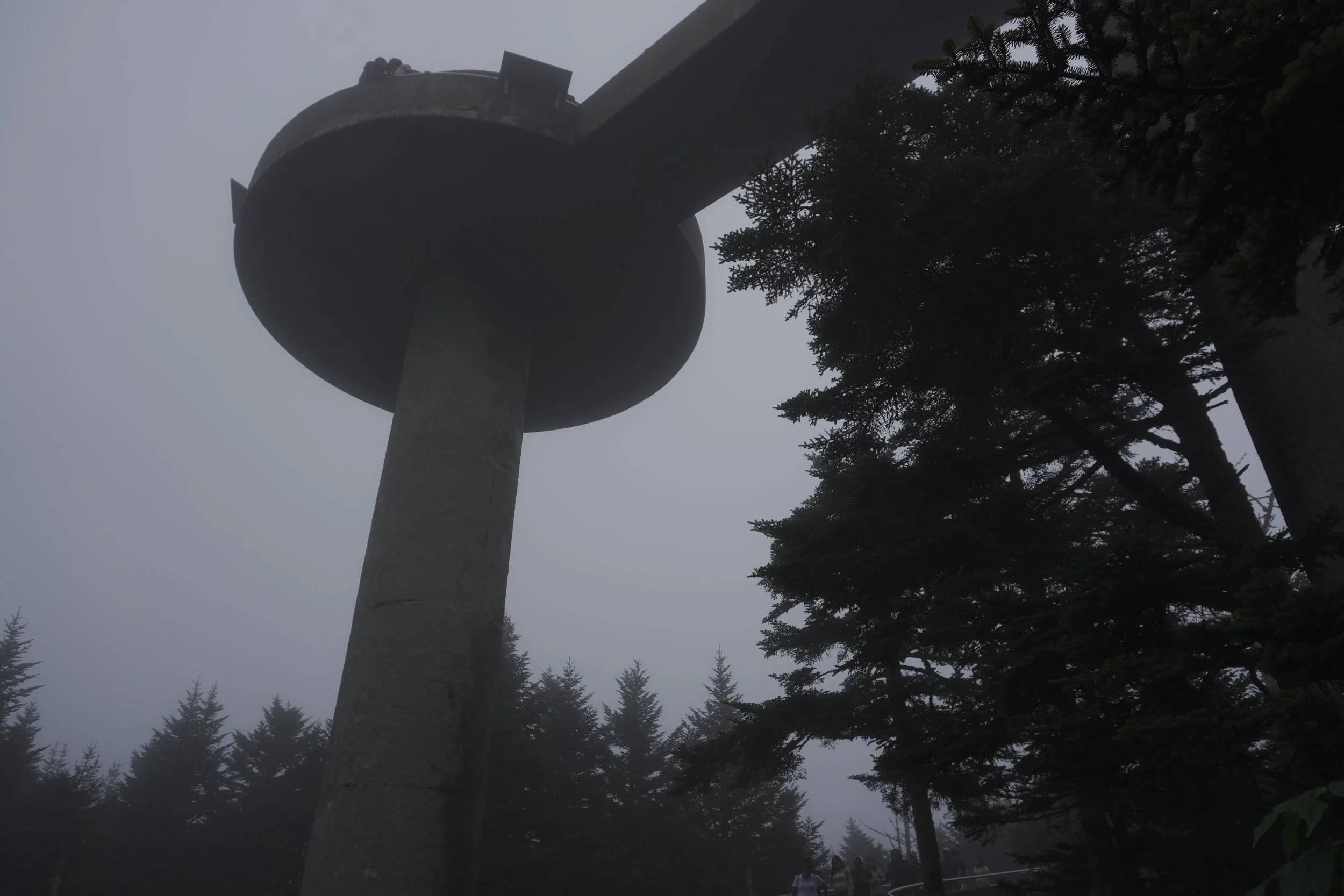
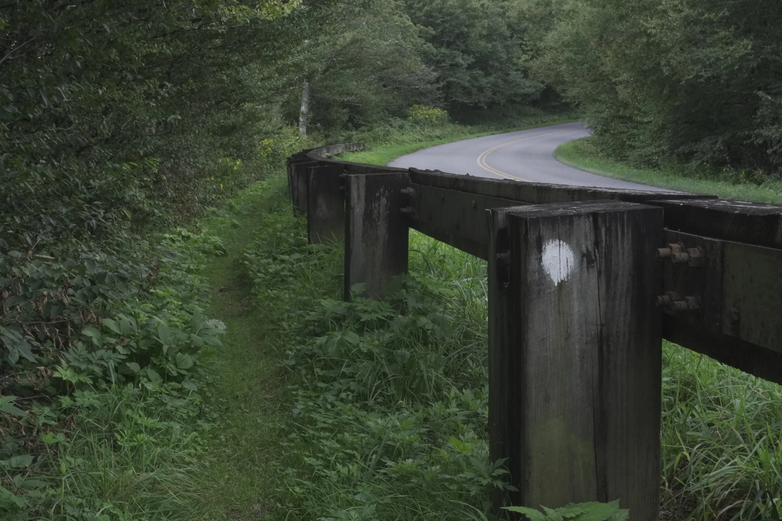
As I followed the Blue Ridge Parkway via the Mountains-To-Sea Trail all the way from Mount Mitchell to Clingman’s Dome in the Great Smoky Mountains National Park, I experienced unparalleled levels of solitude and often went days without seeing a soul.
It was unexpected, but remarkably fulfilling to totally engulf myself in the woods that had surrounded me my entire life, breathing new air into my memories and tugging on nostalgia at every turn.
I entered the Great Smoky Mountains with an intention to level with that particular section of the Appalachian Trail. During my 2019 AT thru-hike, I had traversed the park in an ill-advised 4 days — and paid the price for it with the rapid development of overuse injuries, including shin splints and severe achilles tendonitis, not to mention hypothermia.
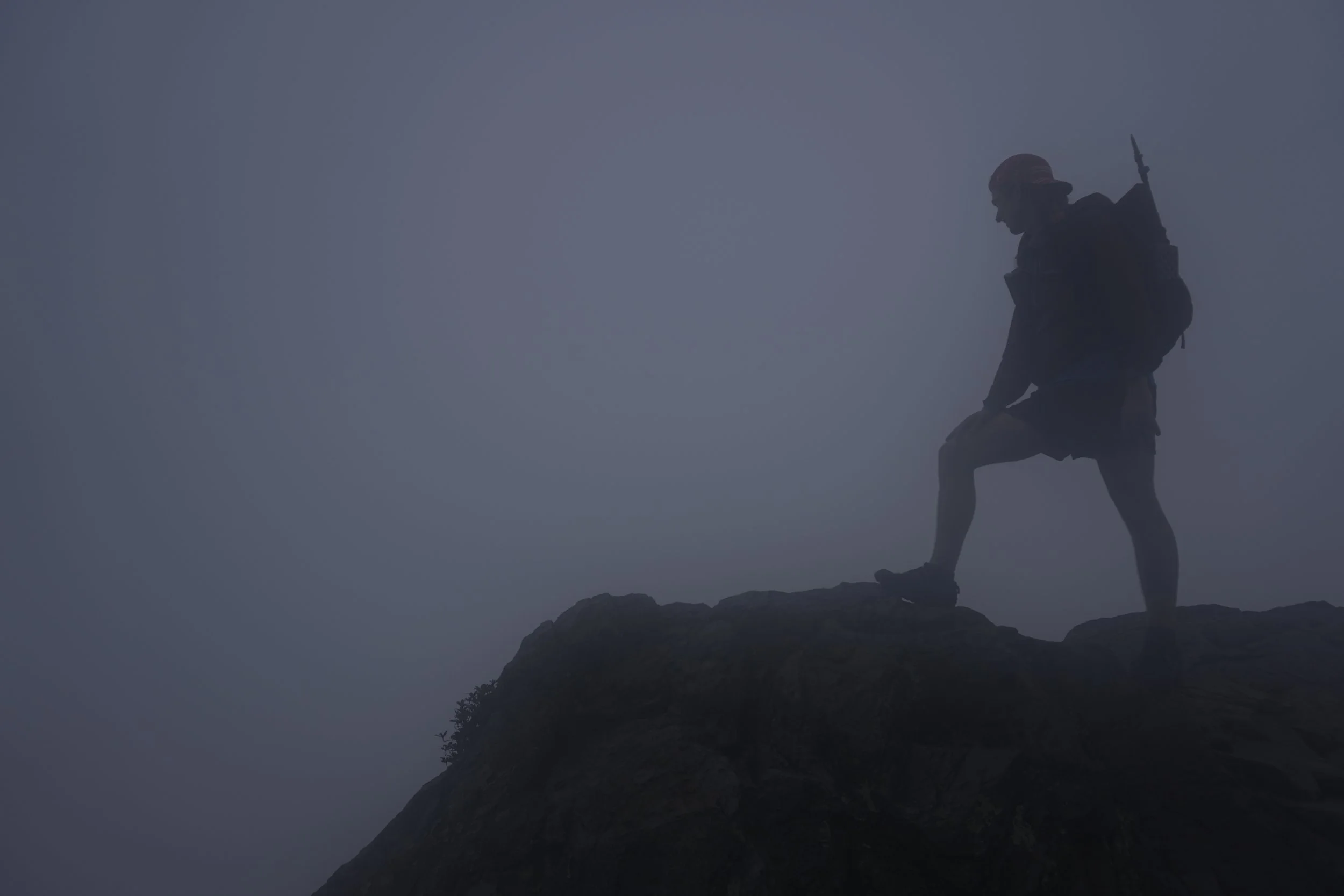
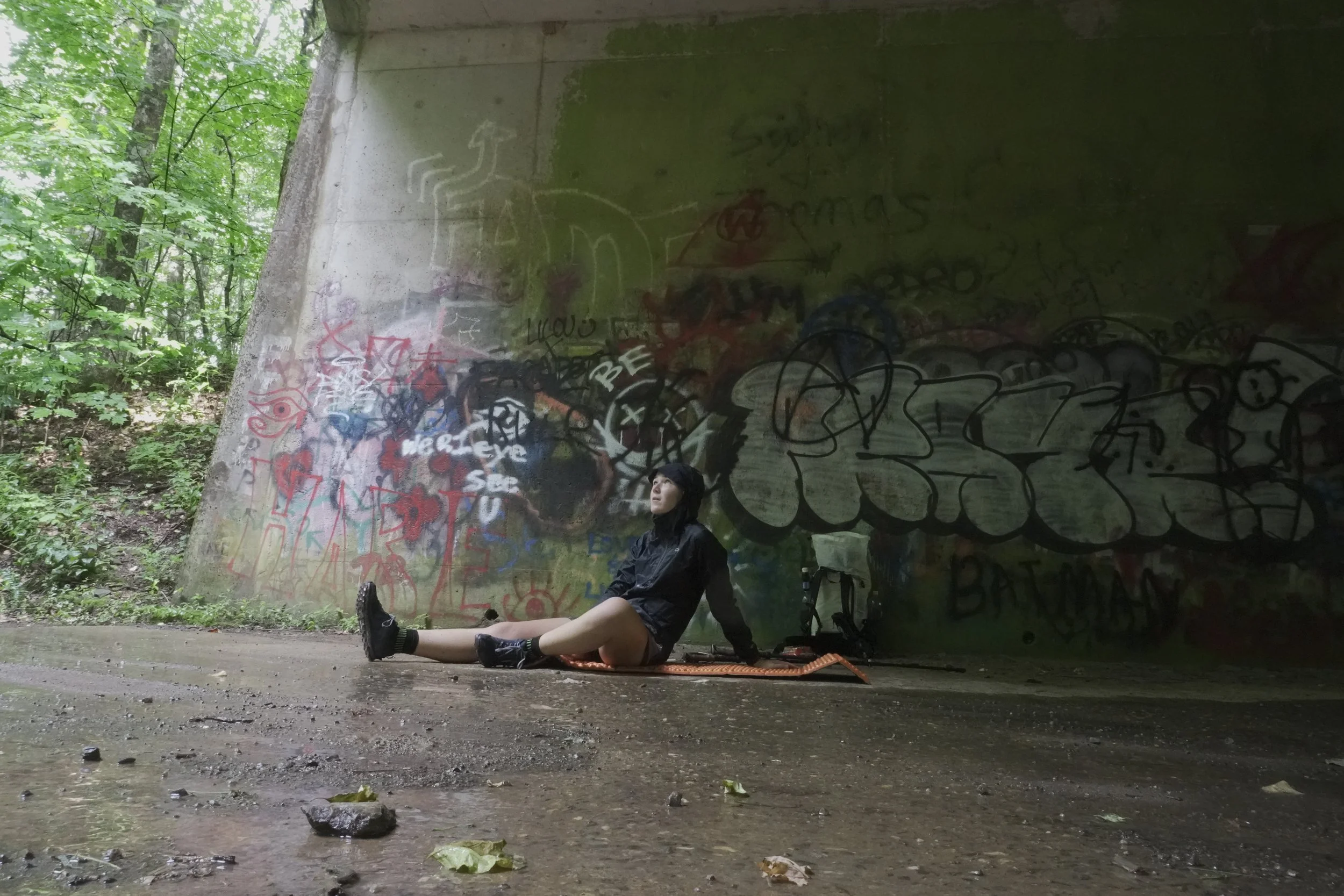
Though the weather for my AHR trek was characteristically rainy, and I spent most days traveling through a thick blanket of fog, I tackled the miles slowly and steadily, being mindful to opt for blue blazes and bag peaks where I could.
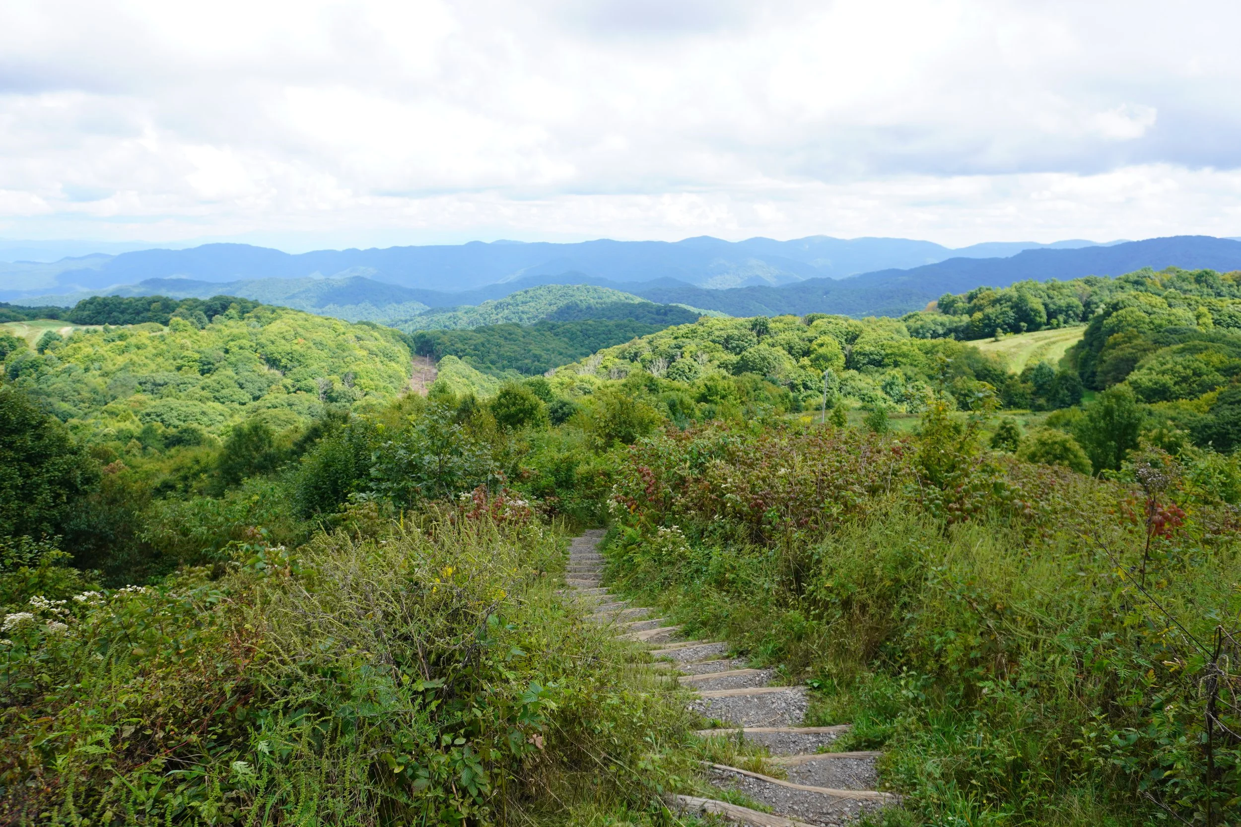
The Appalachian High Route is for the hiker who swoons at the Smokies and yearns to bag 6,000-foot peaks. The little known fact that 53 of the 54 tallest peaks on the East Coast are in the southern Appalachians may play into the rise of this route’s popularity over the coming seasons. I can’t brag enough on the sights, landmarks, solitude, and experience this trek has to offer.
To learn more about the creation of the AHR and view a map >>> https://jenniferpharrdavis.com/blog/hiking-appalachian-high-route
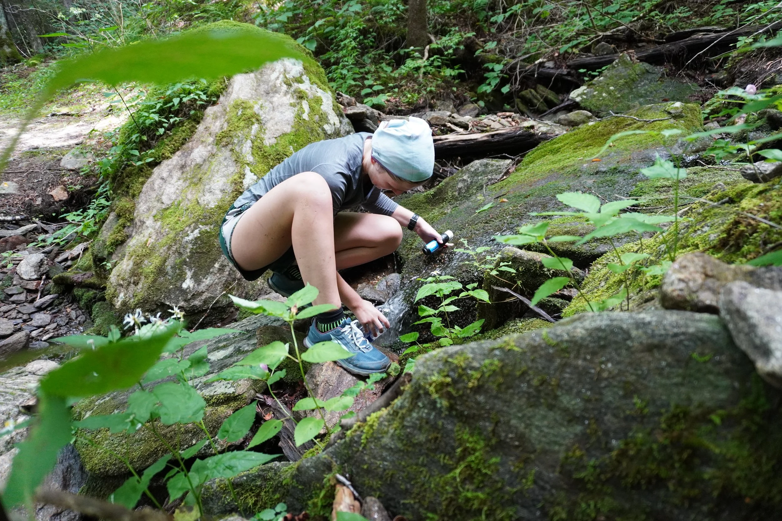
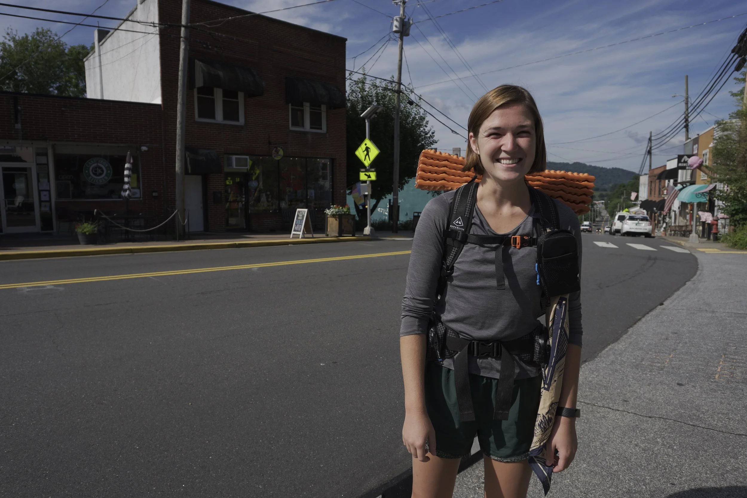
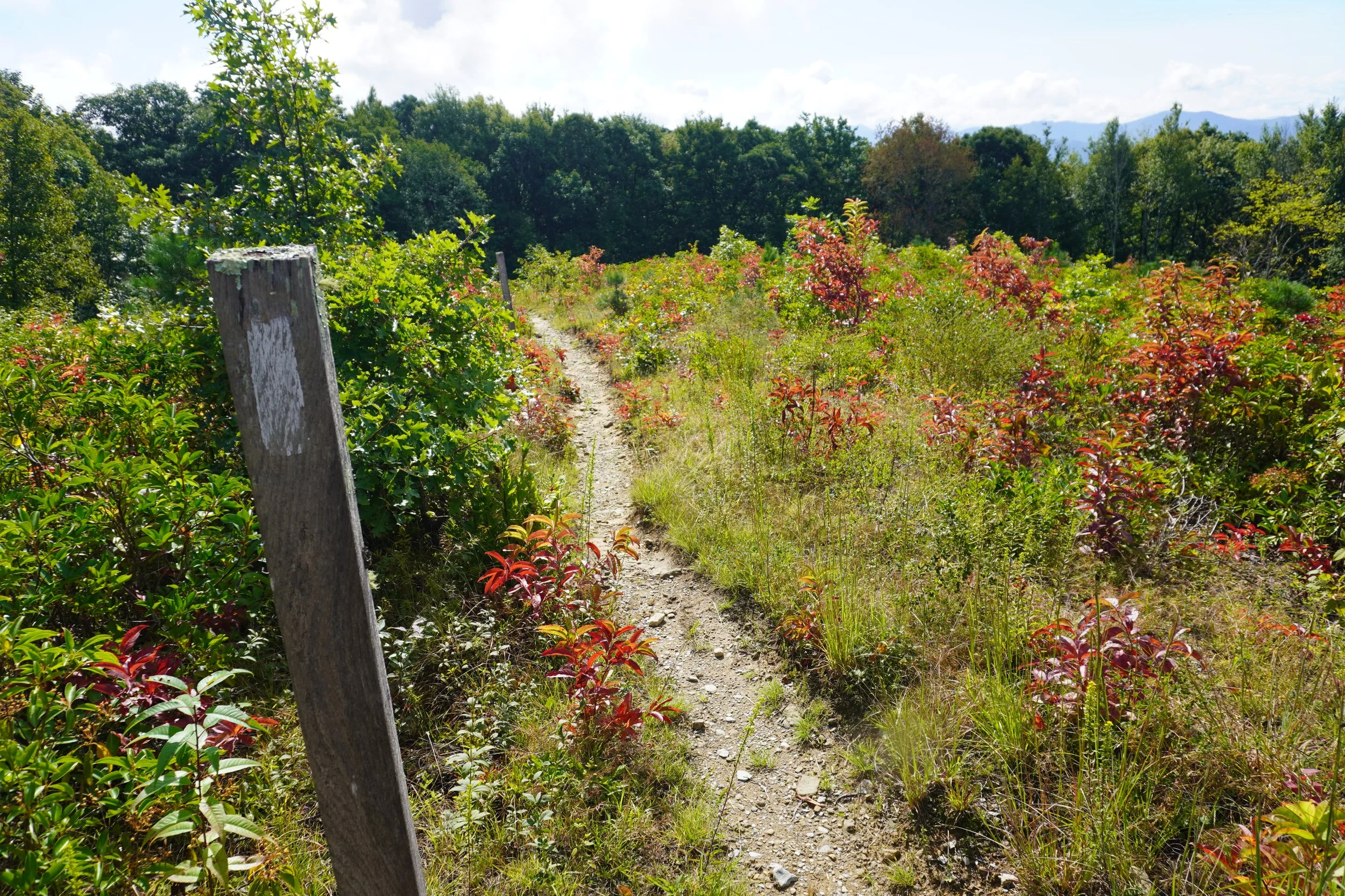
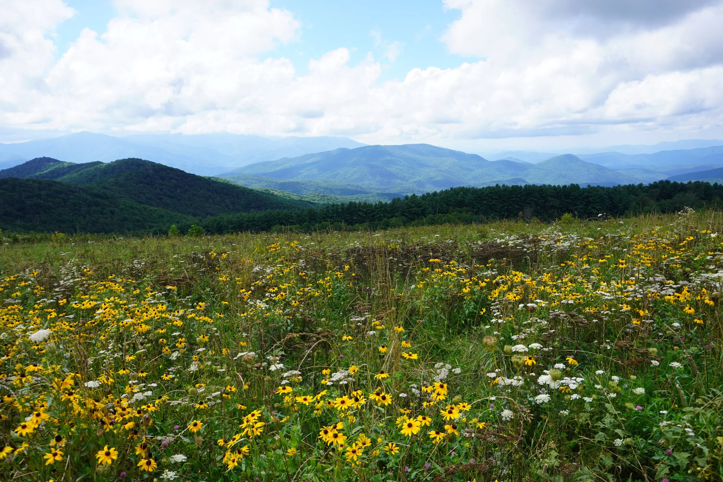
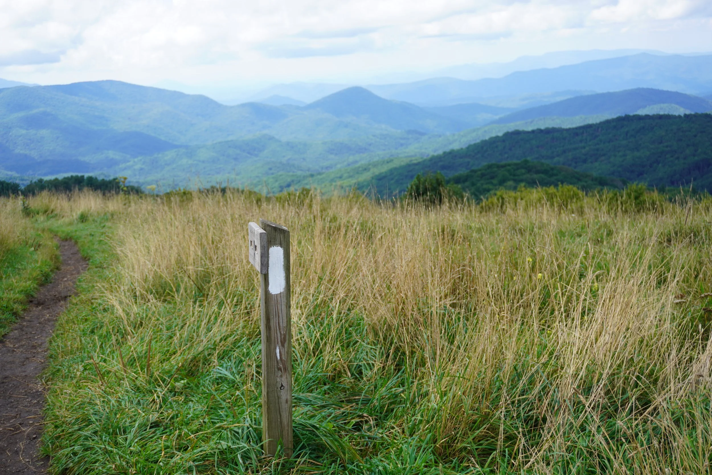
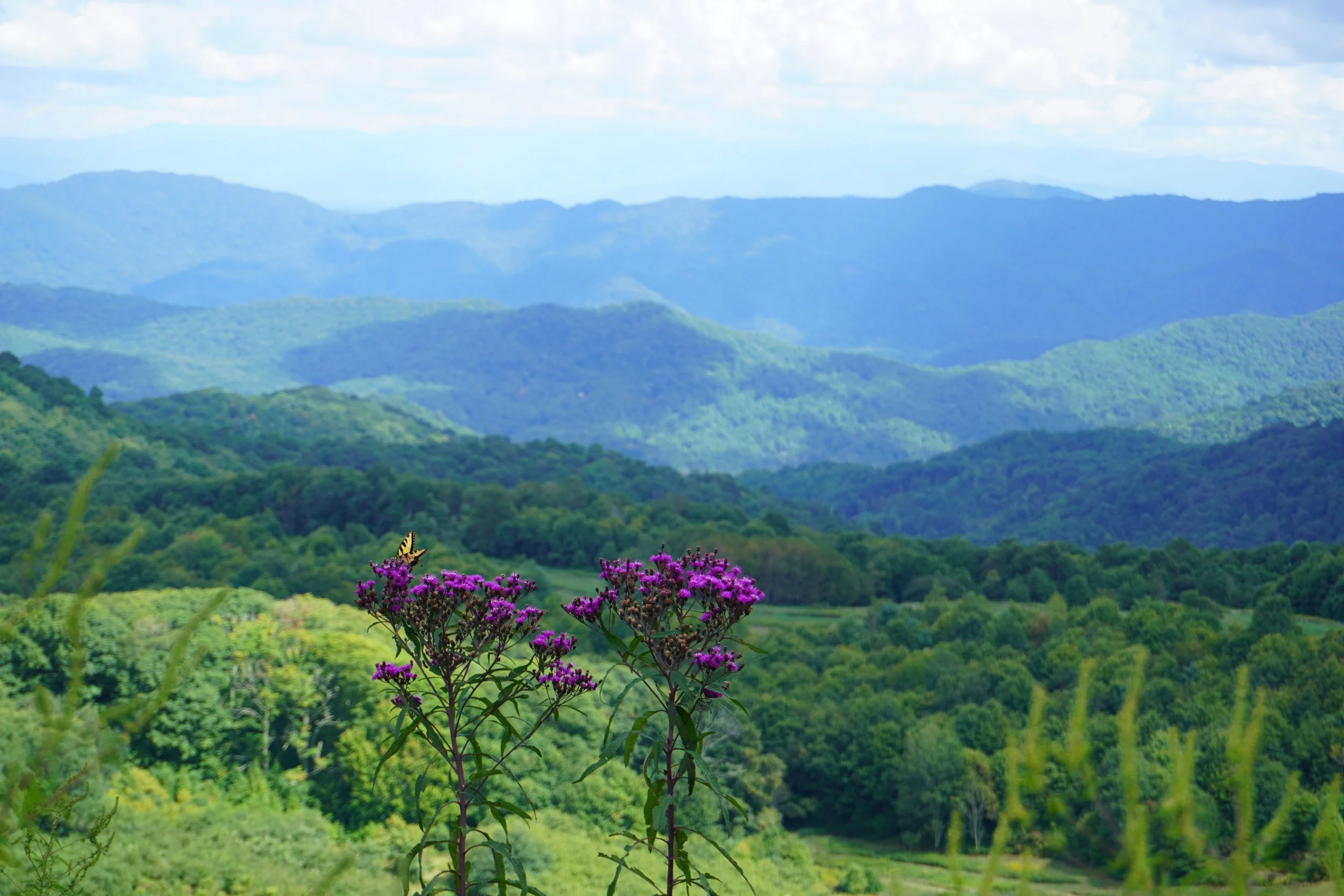
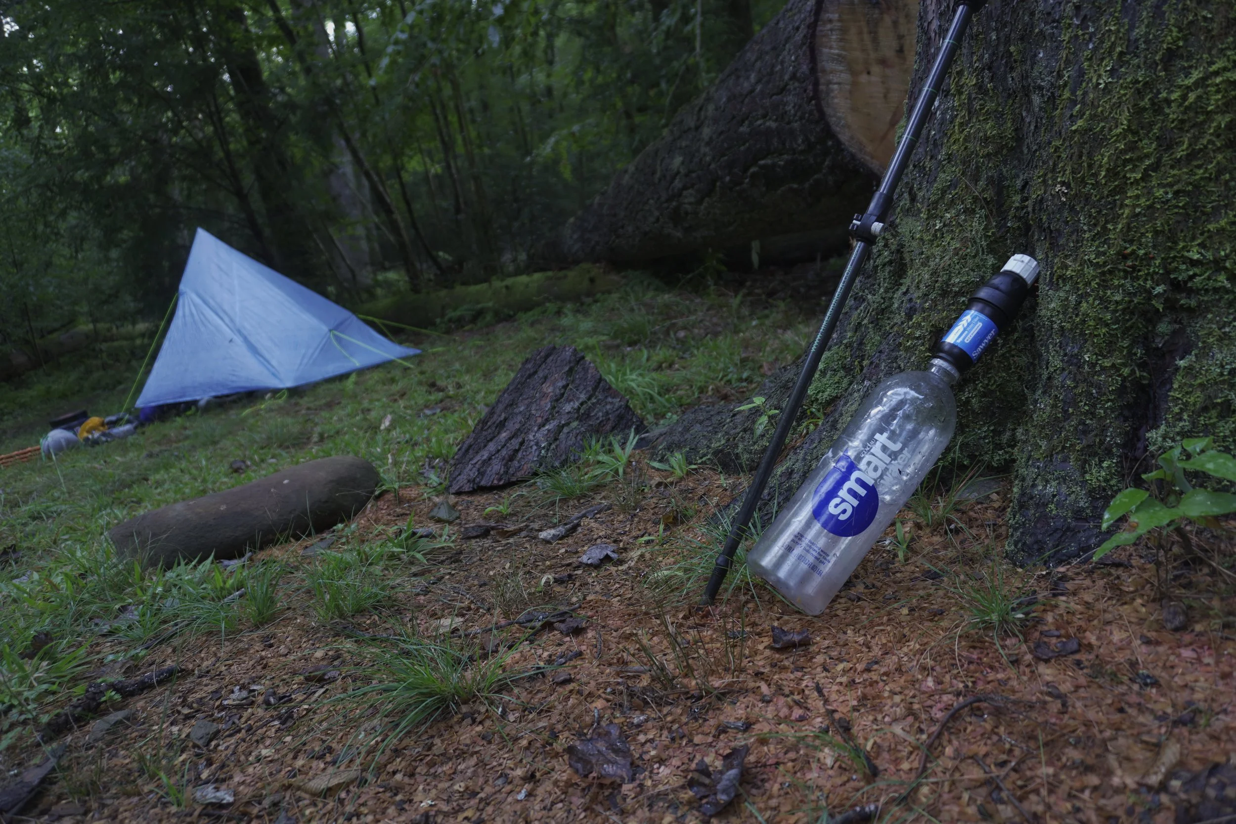
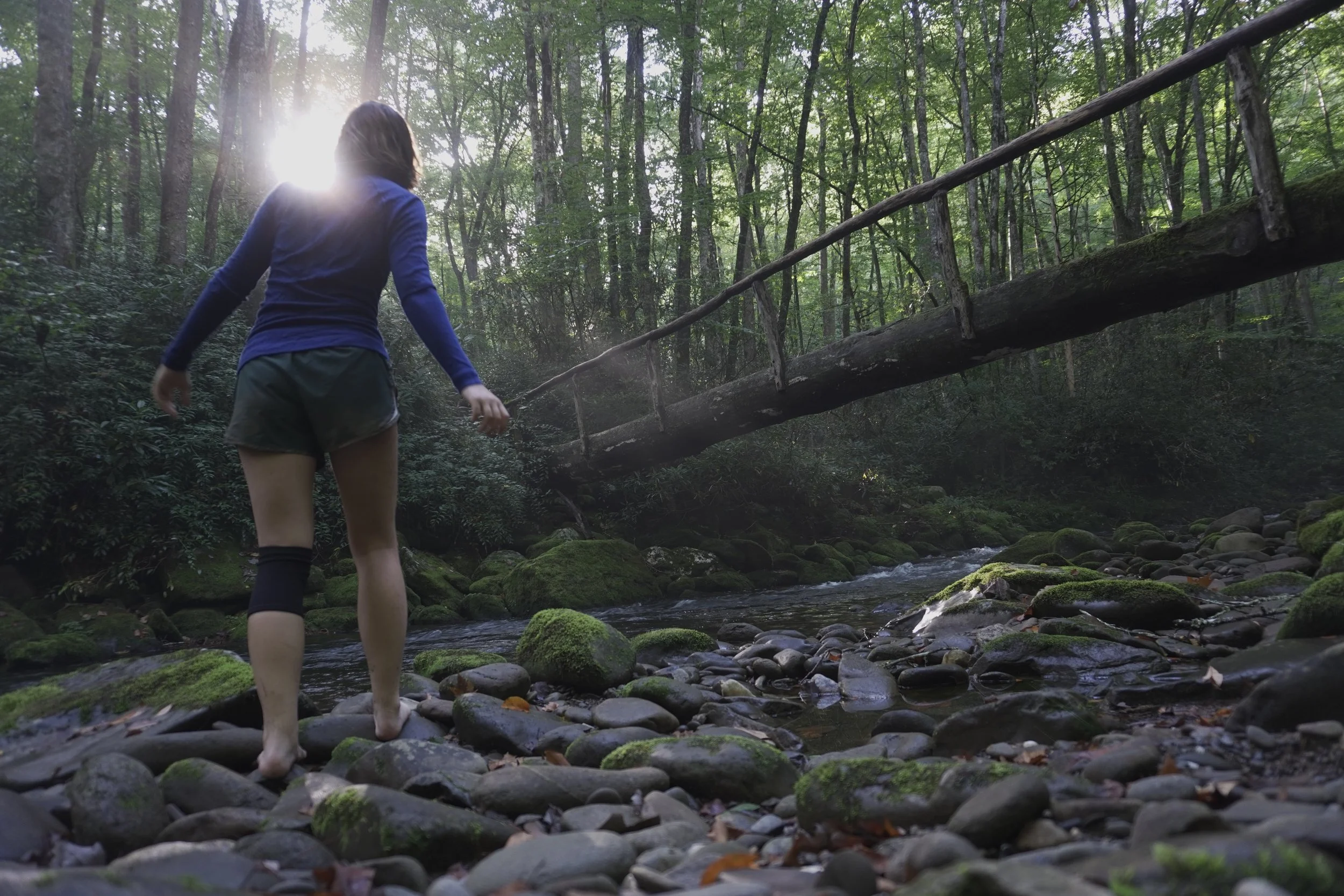
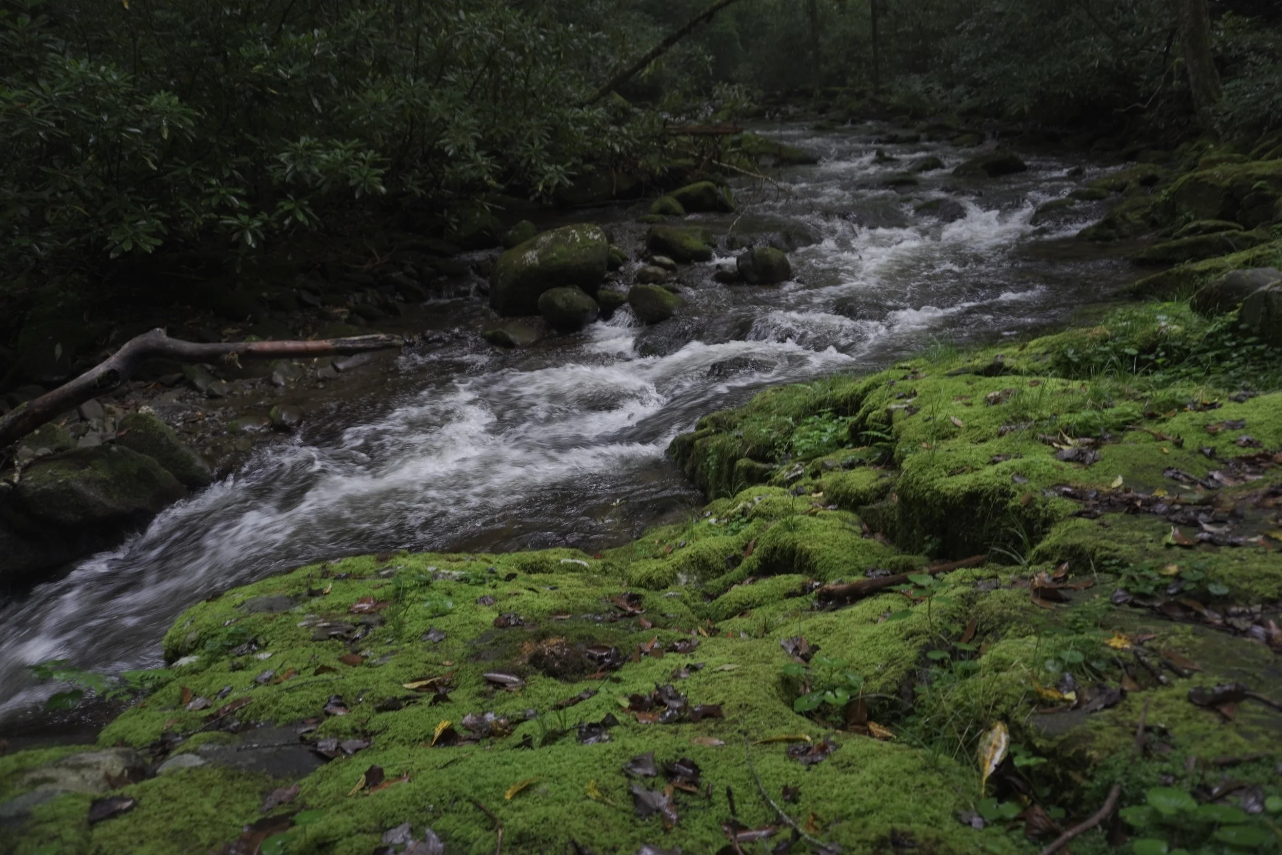
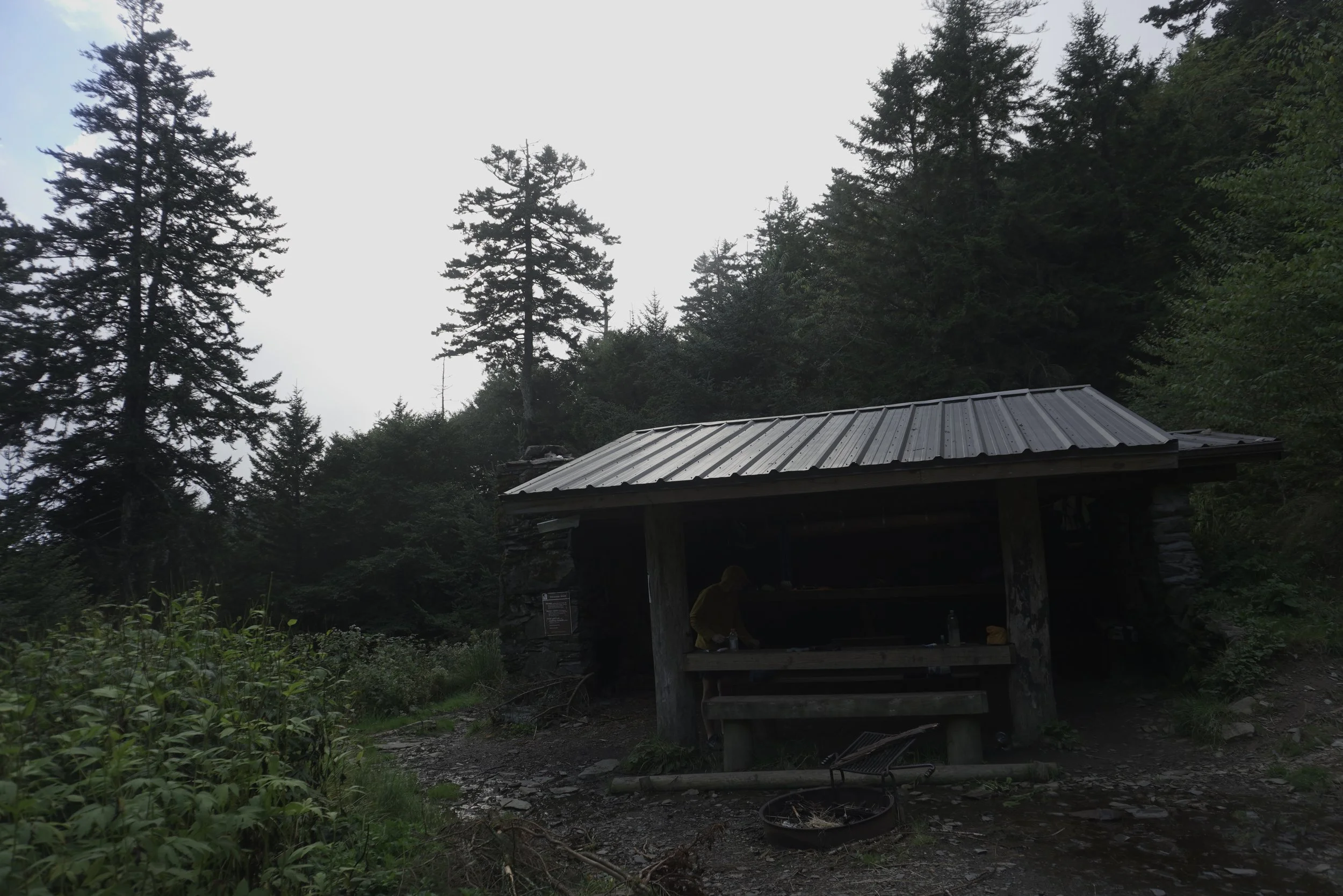
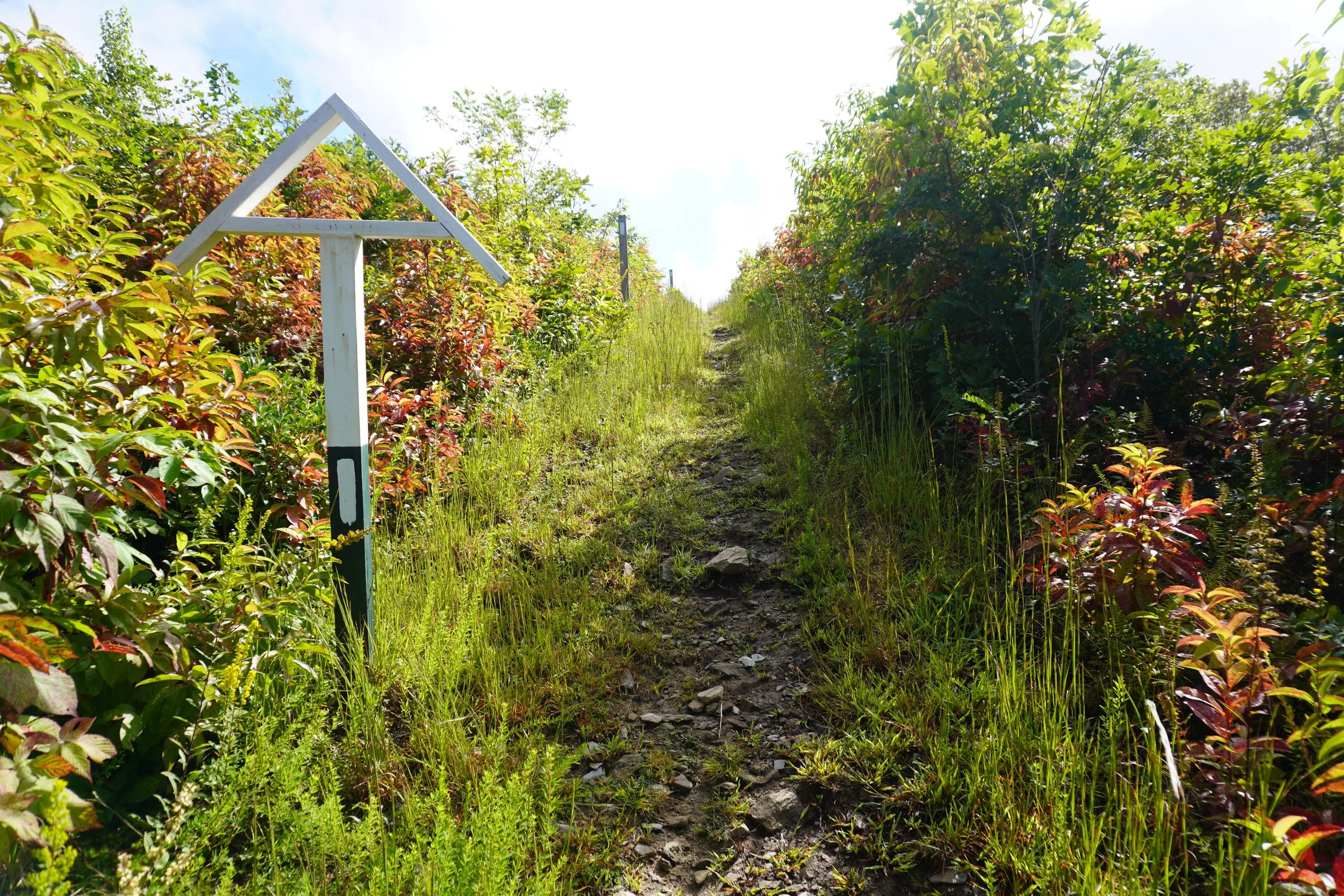
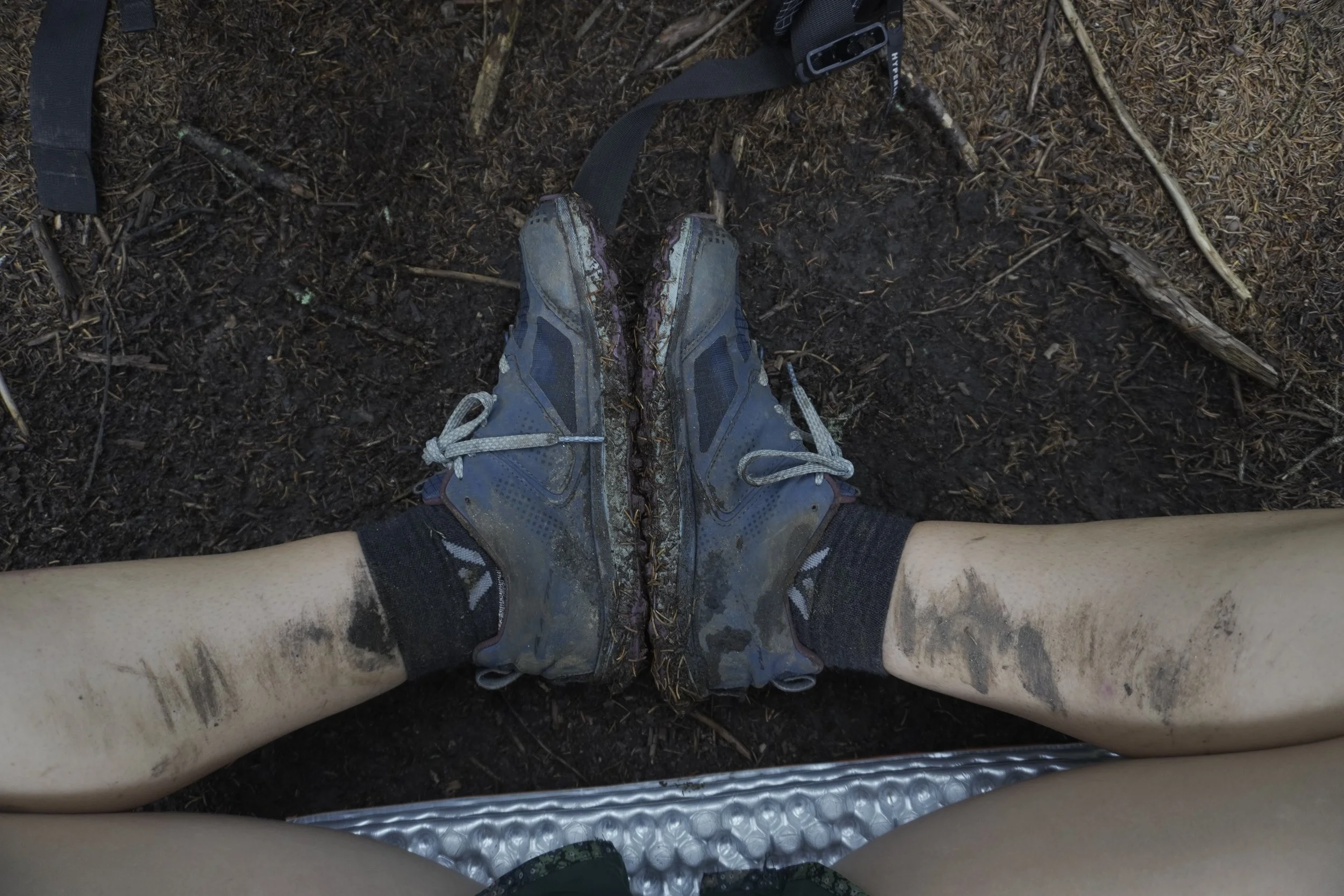
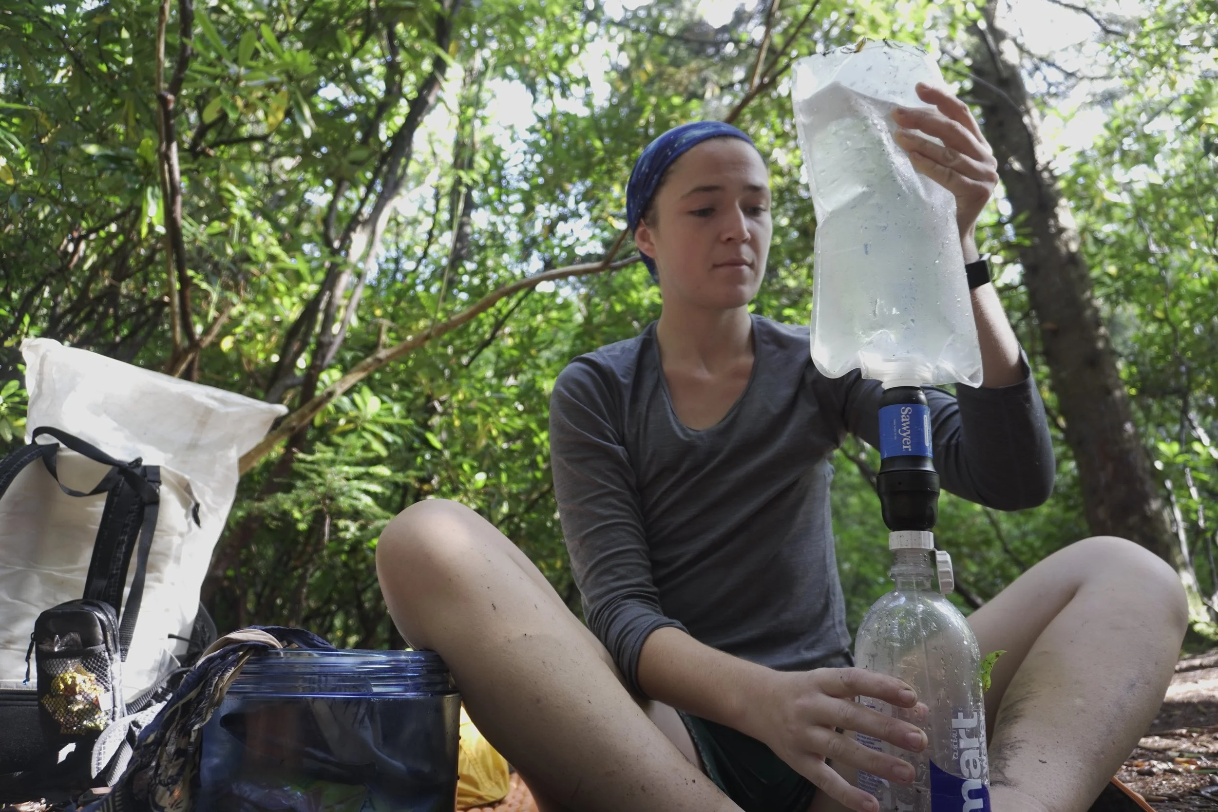
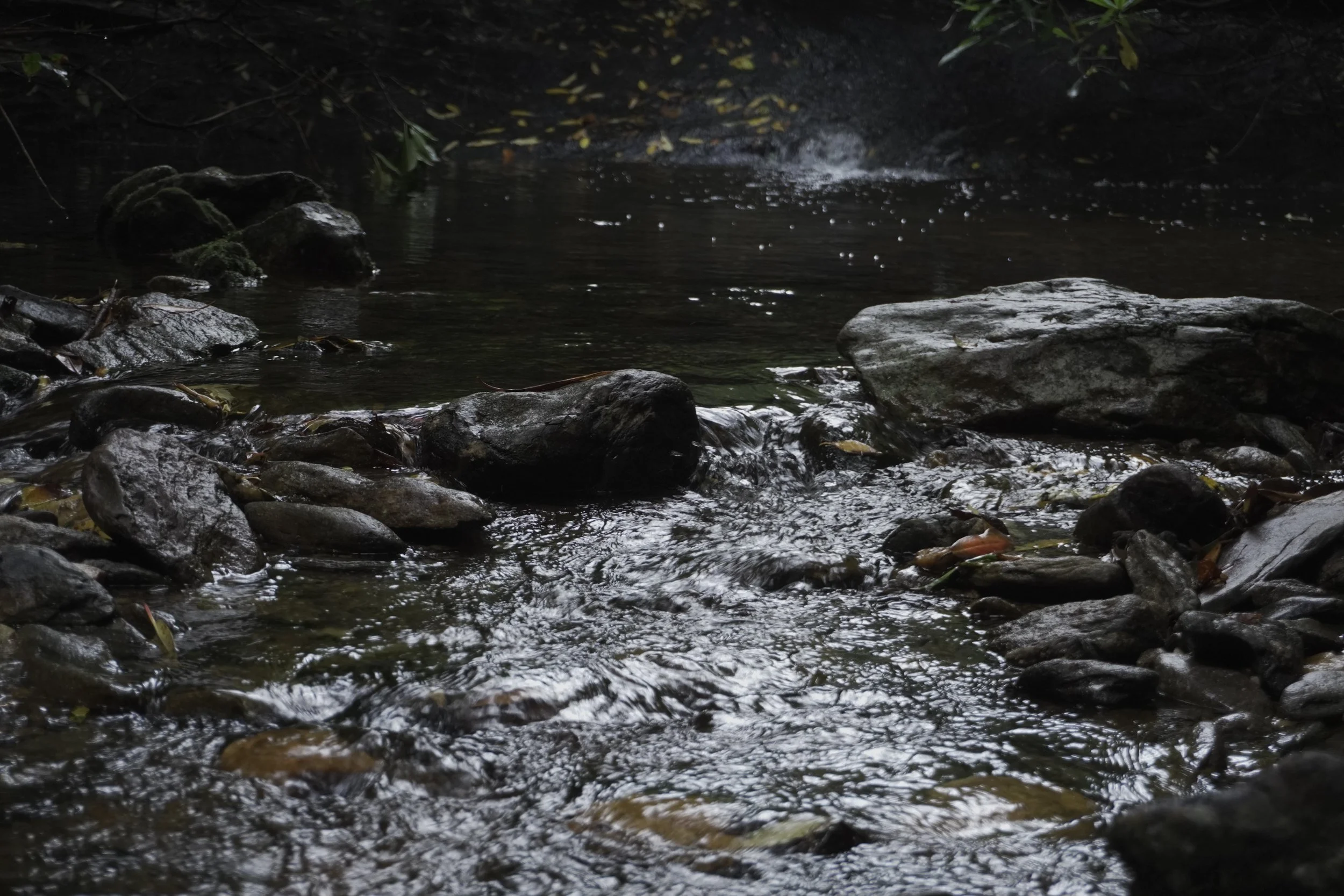
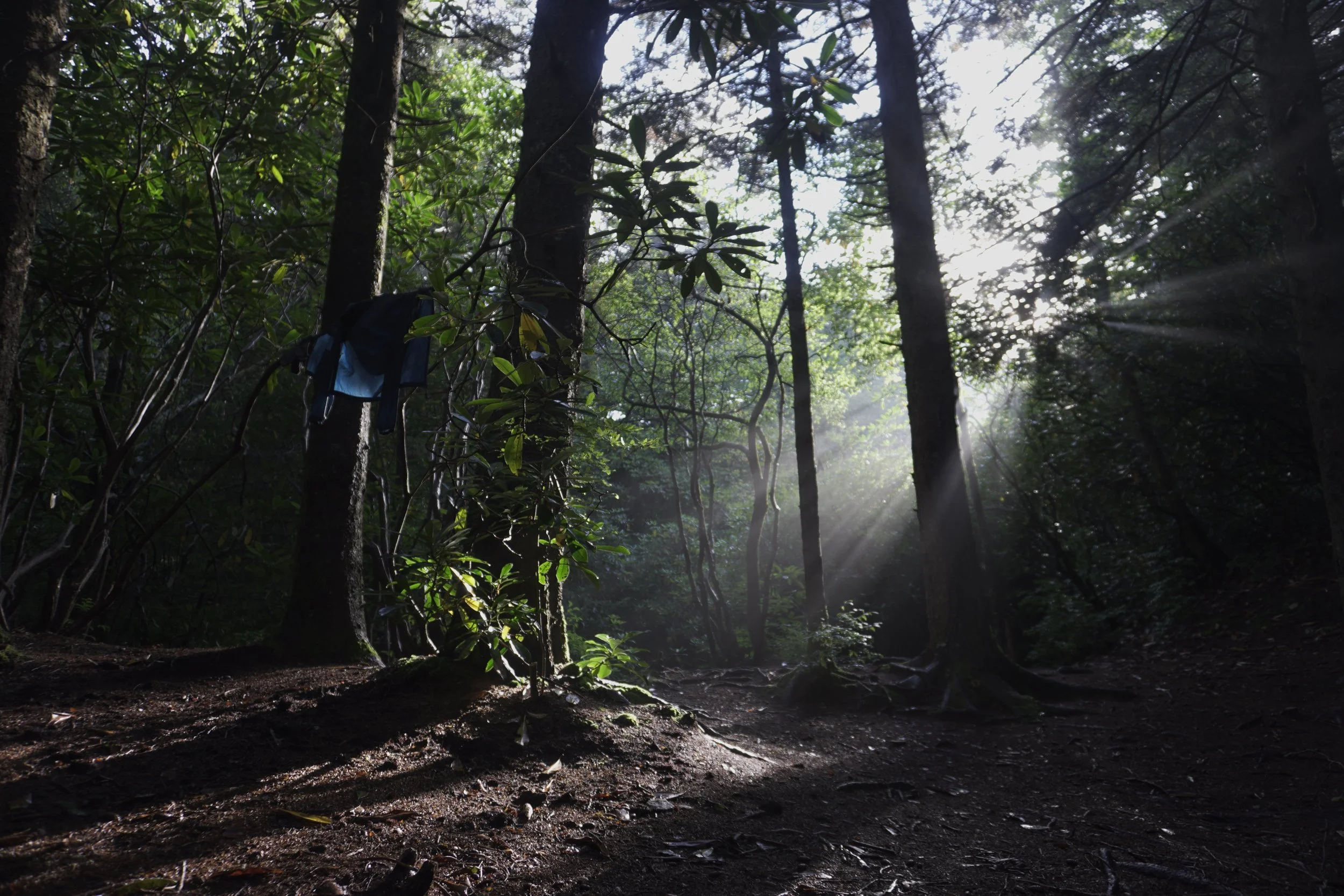
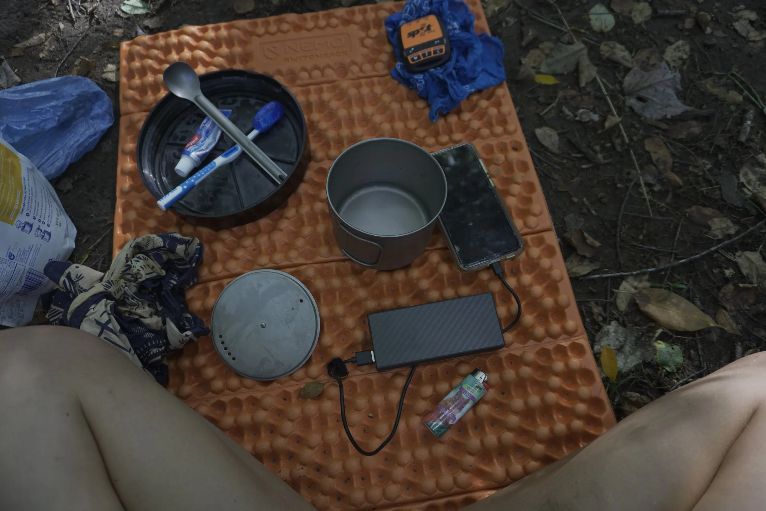
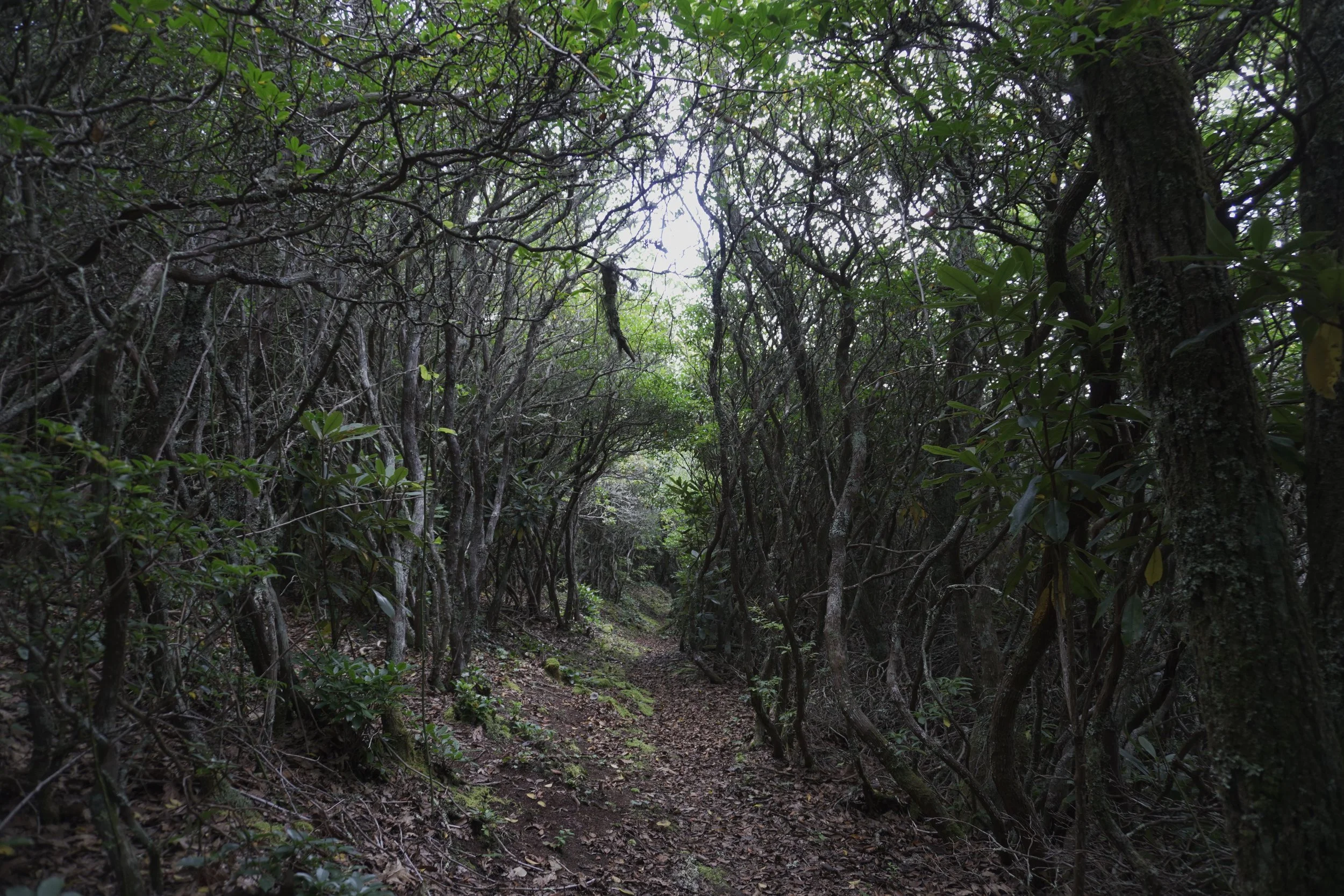
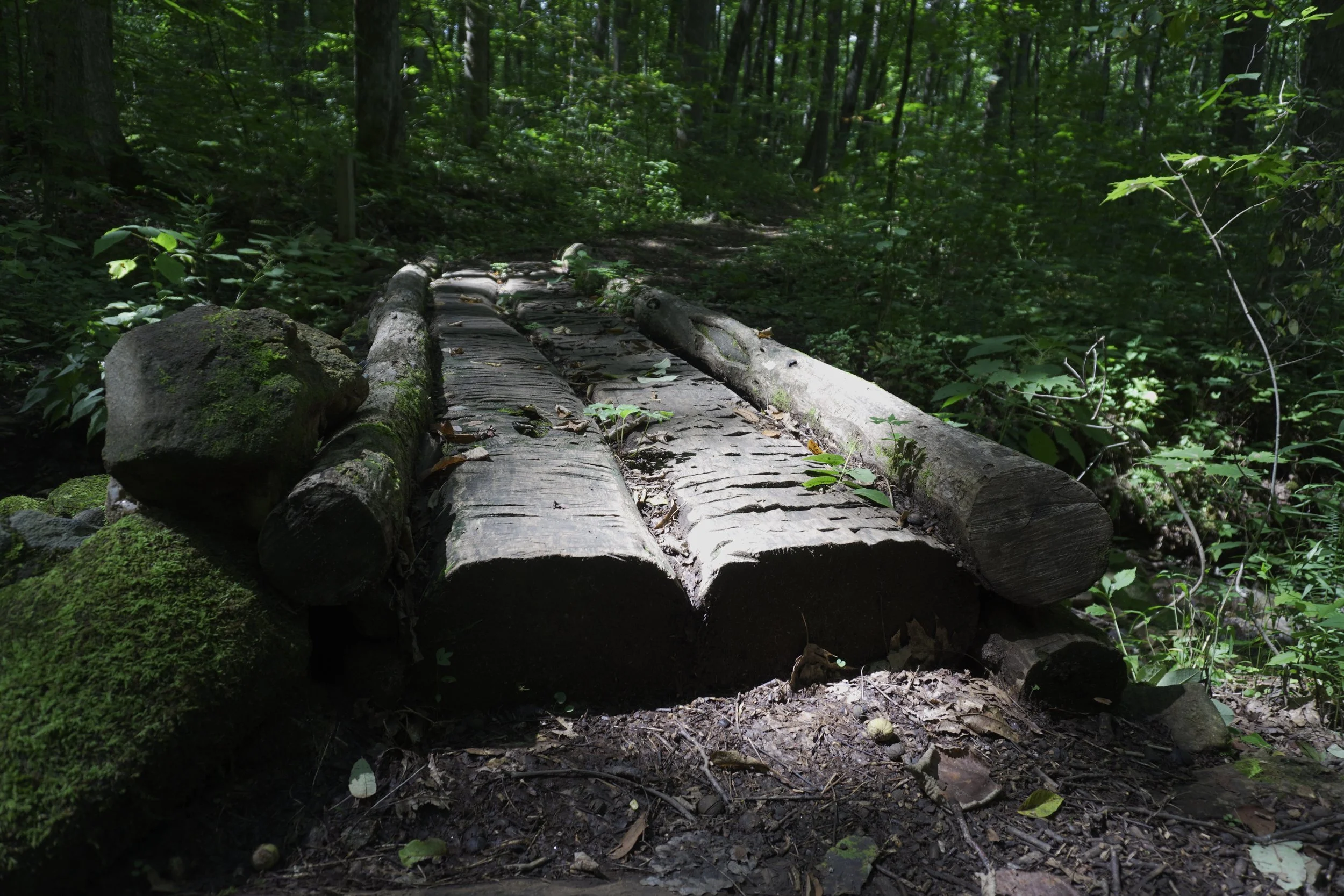
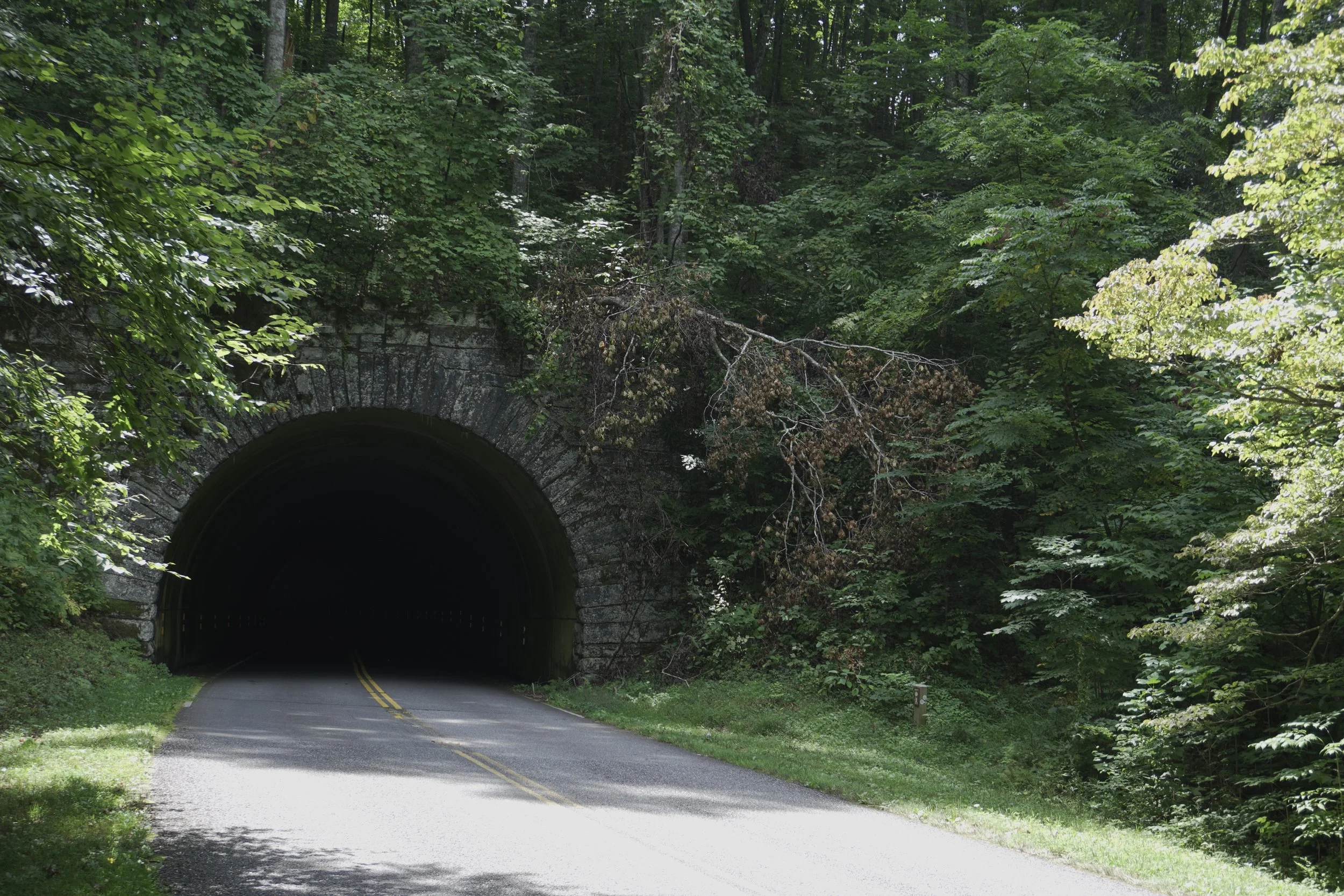
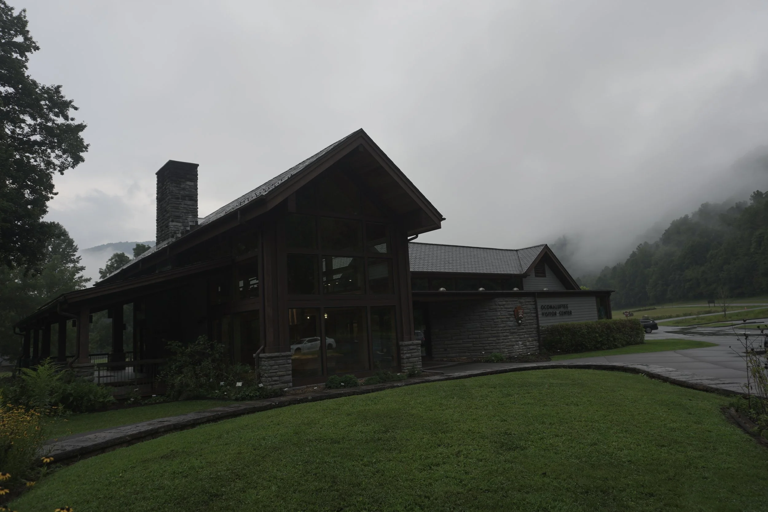
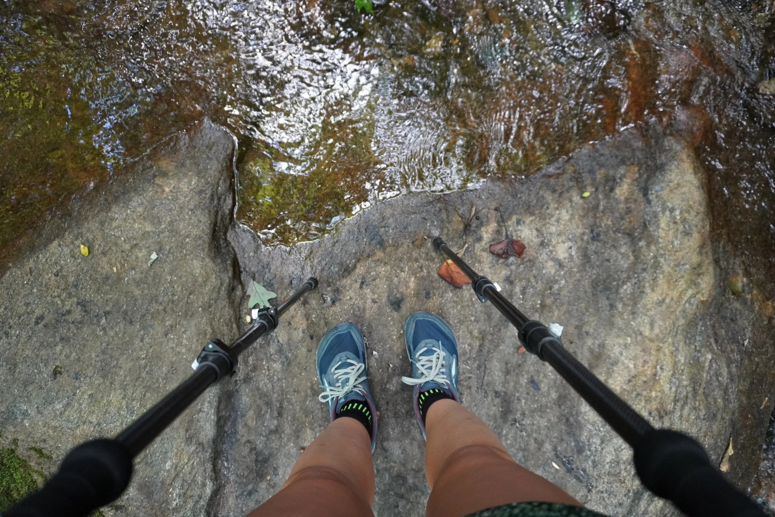
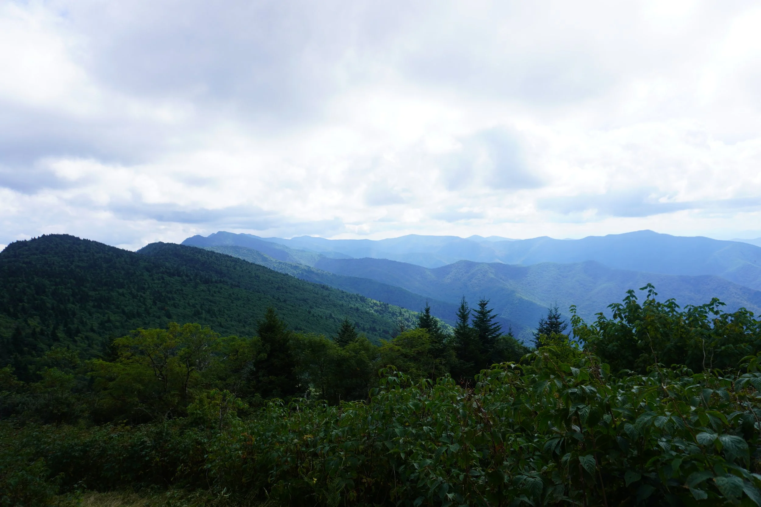
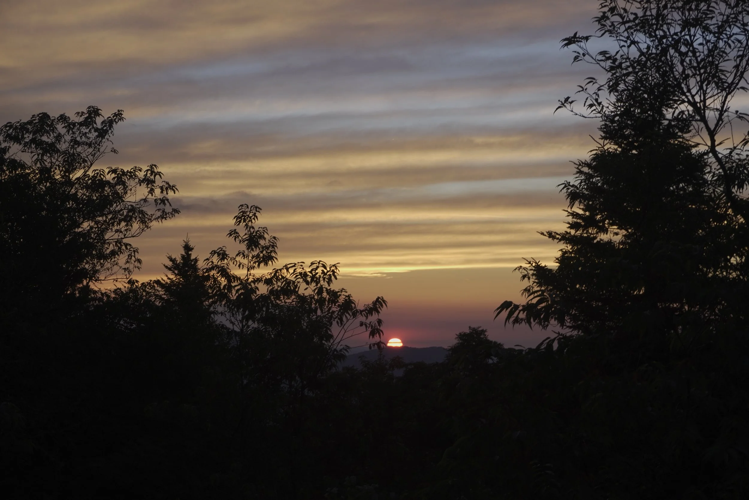
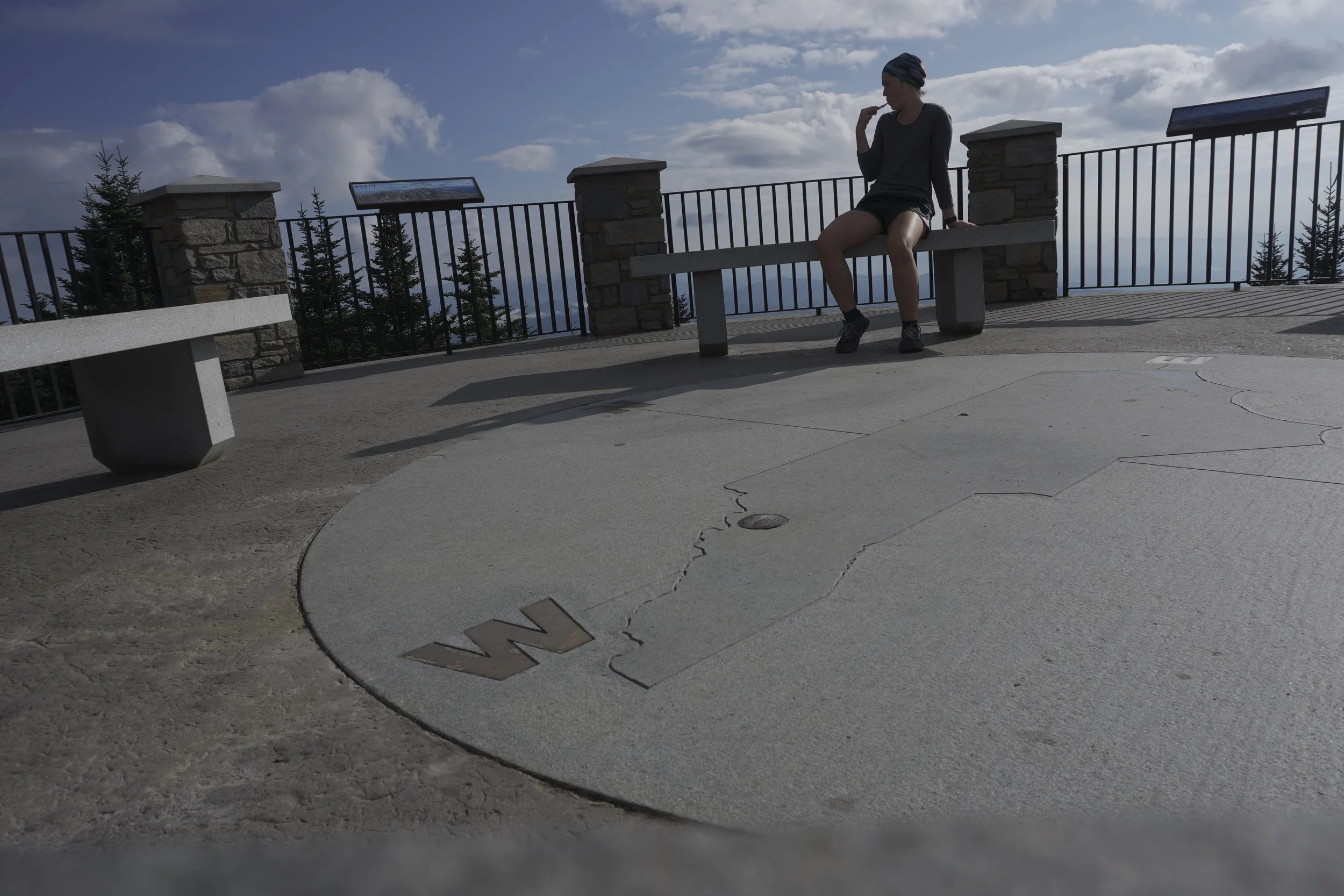
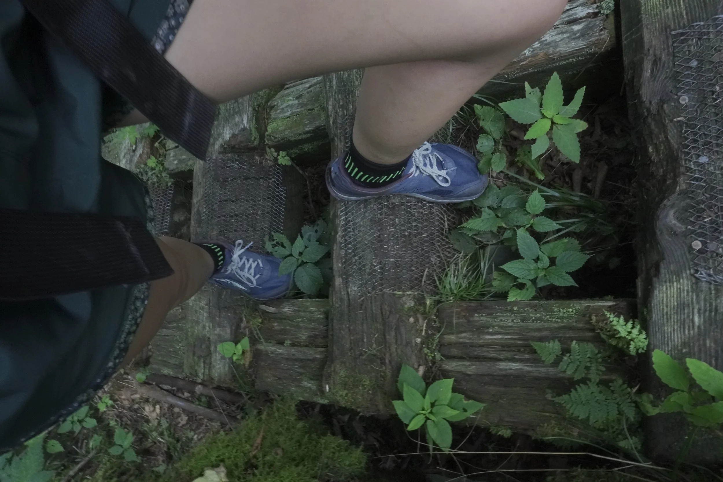
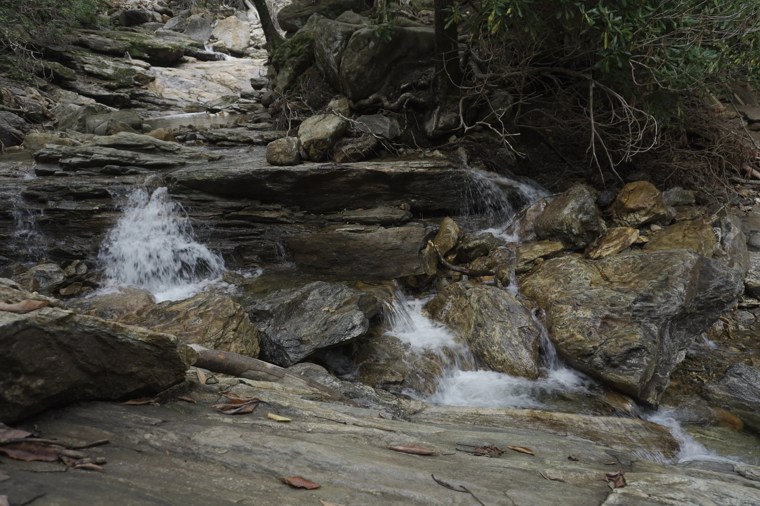
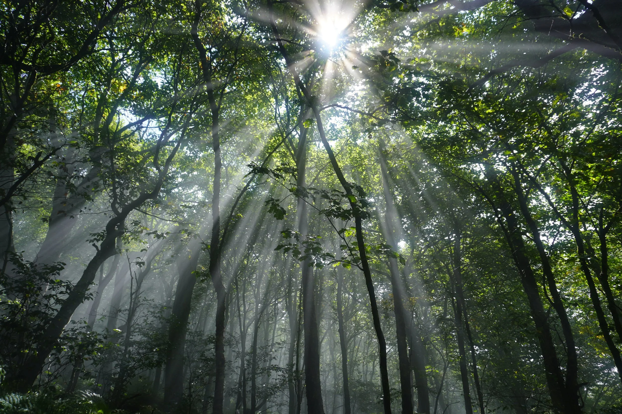
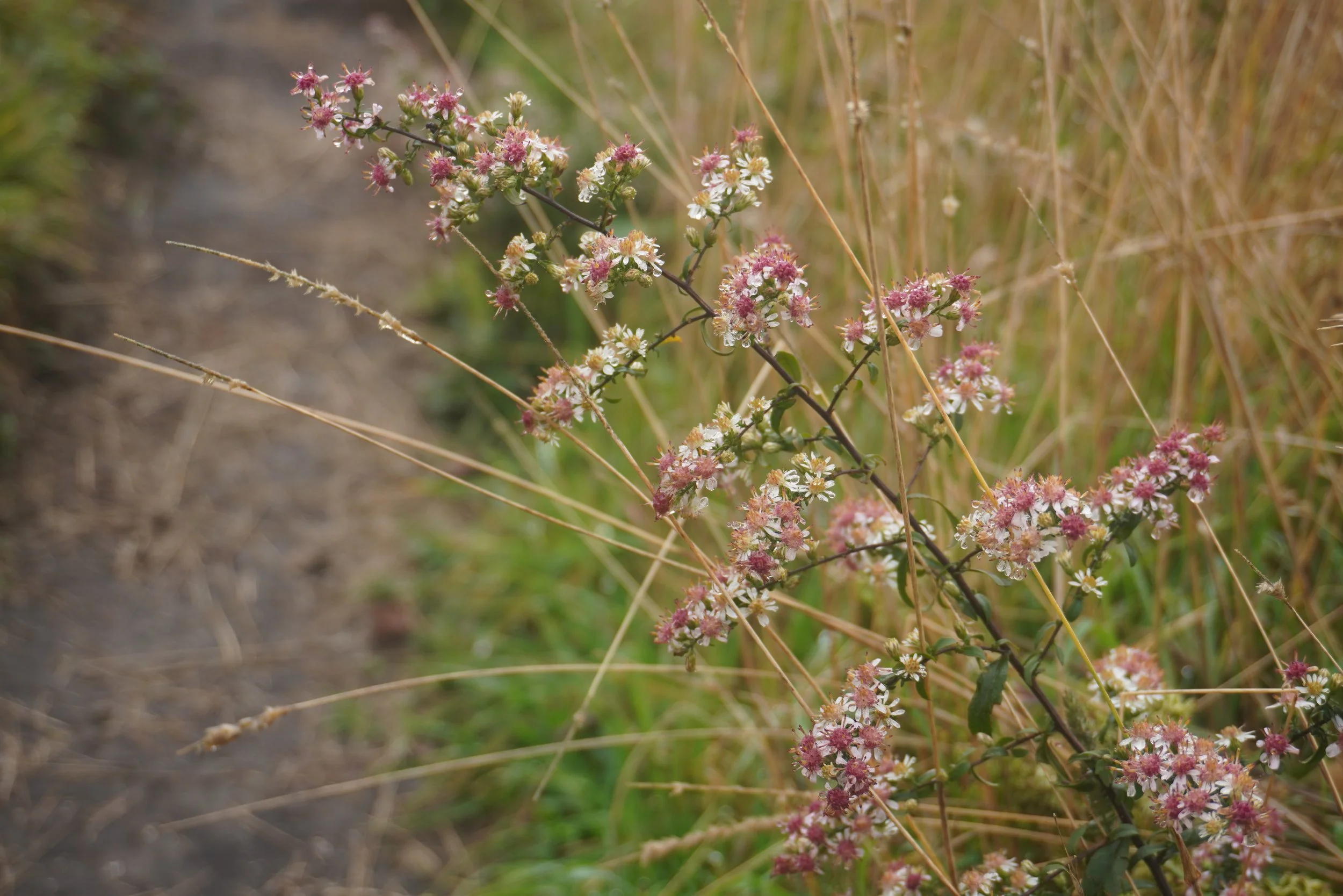
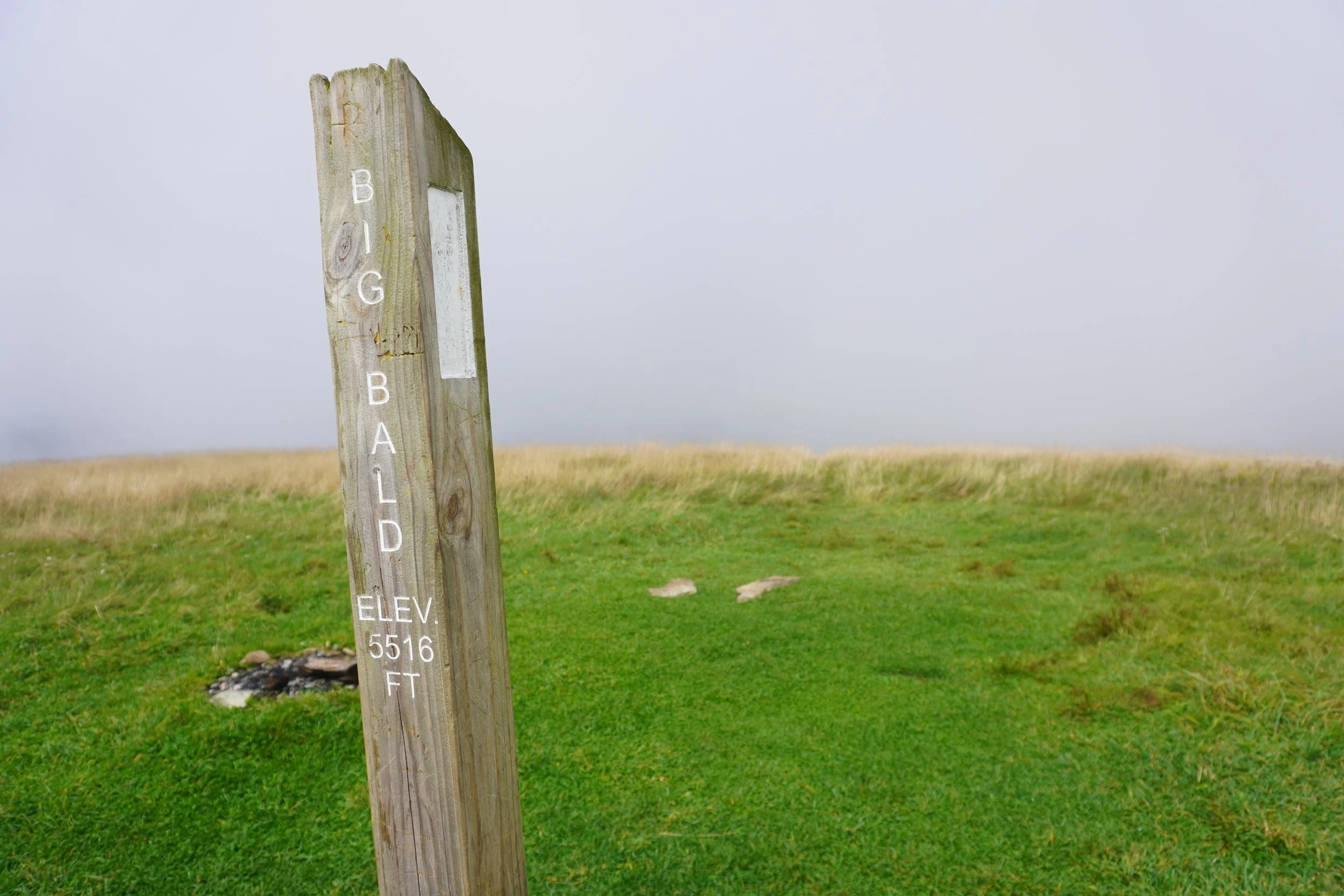
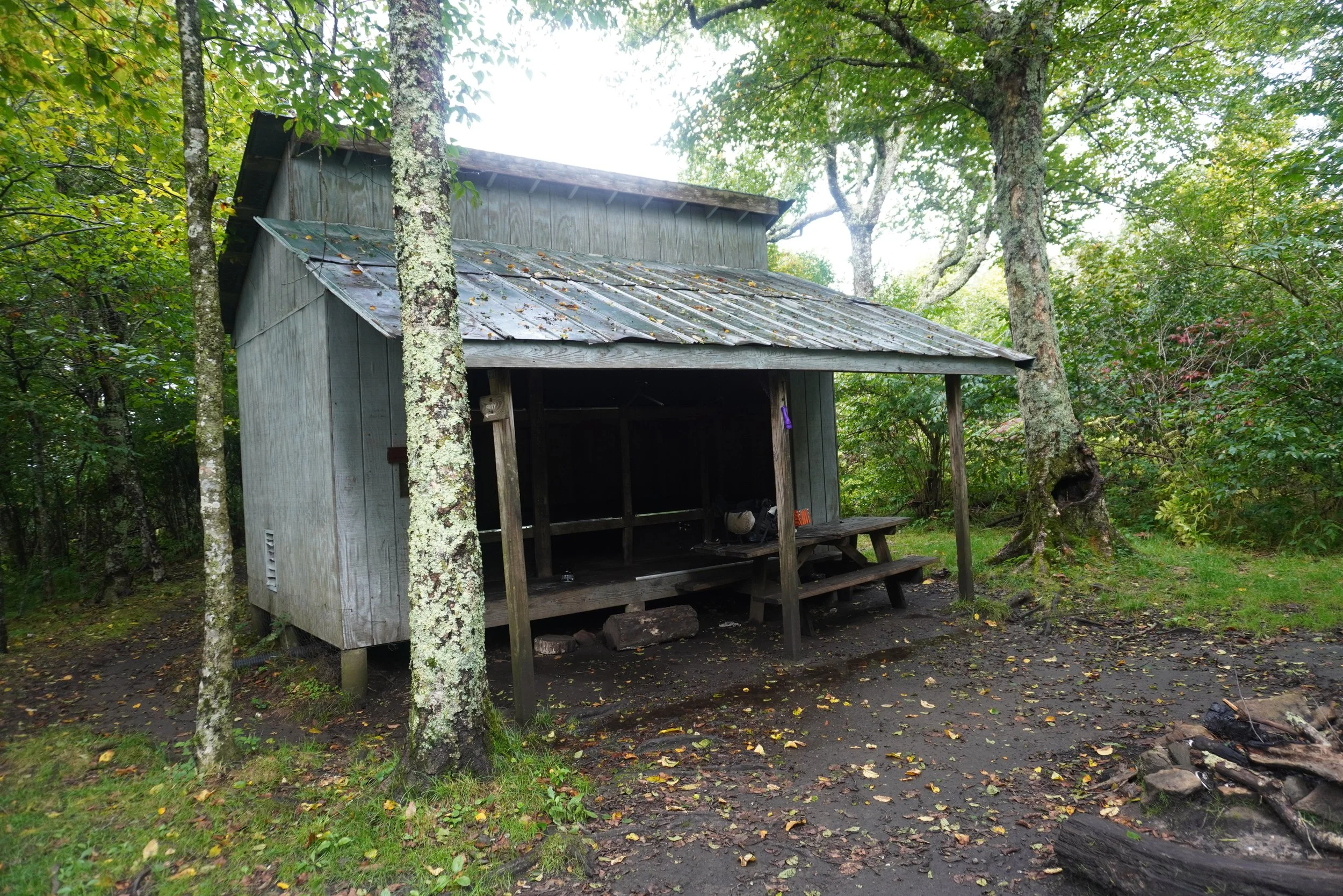
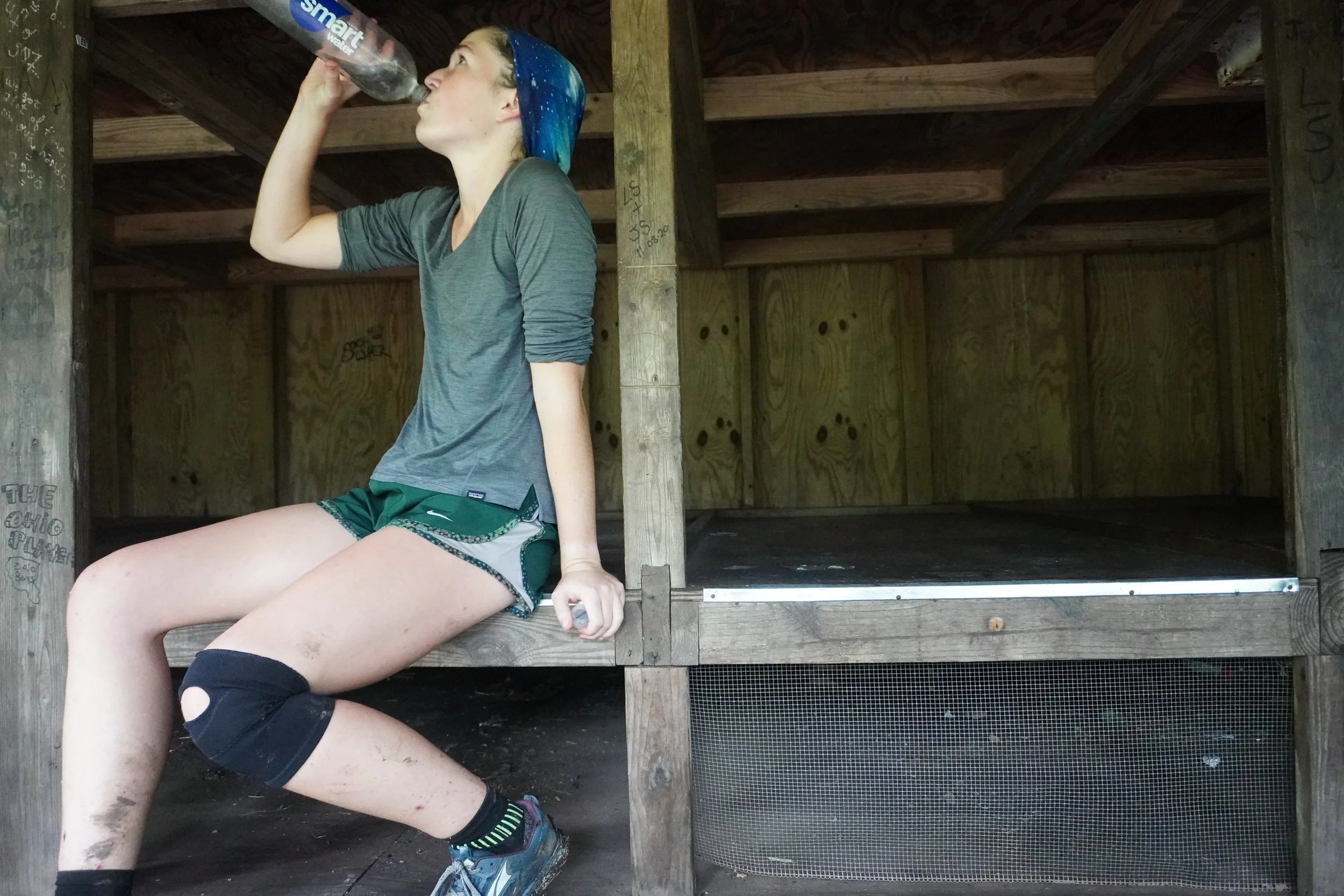
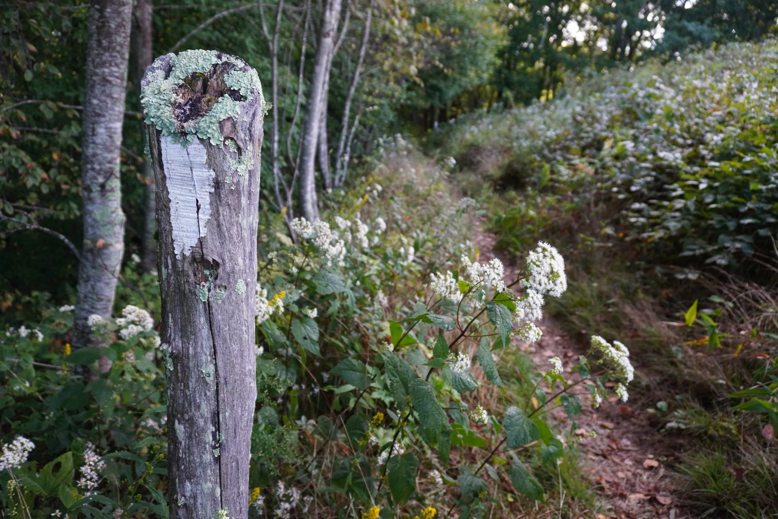
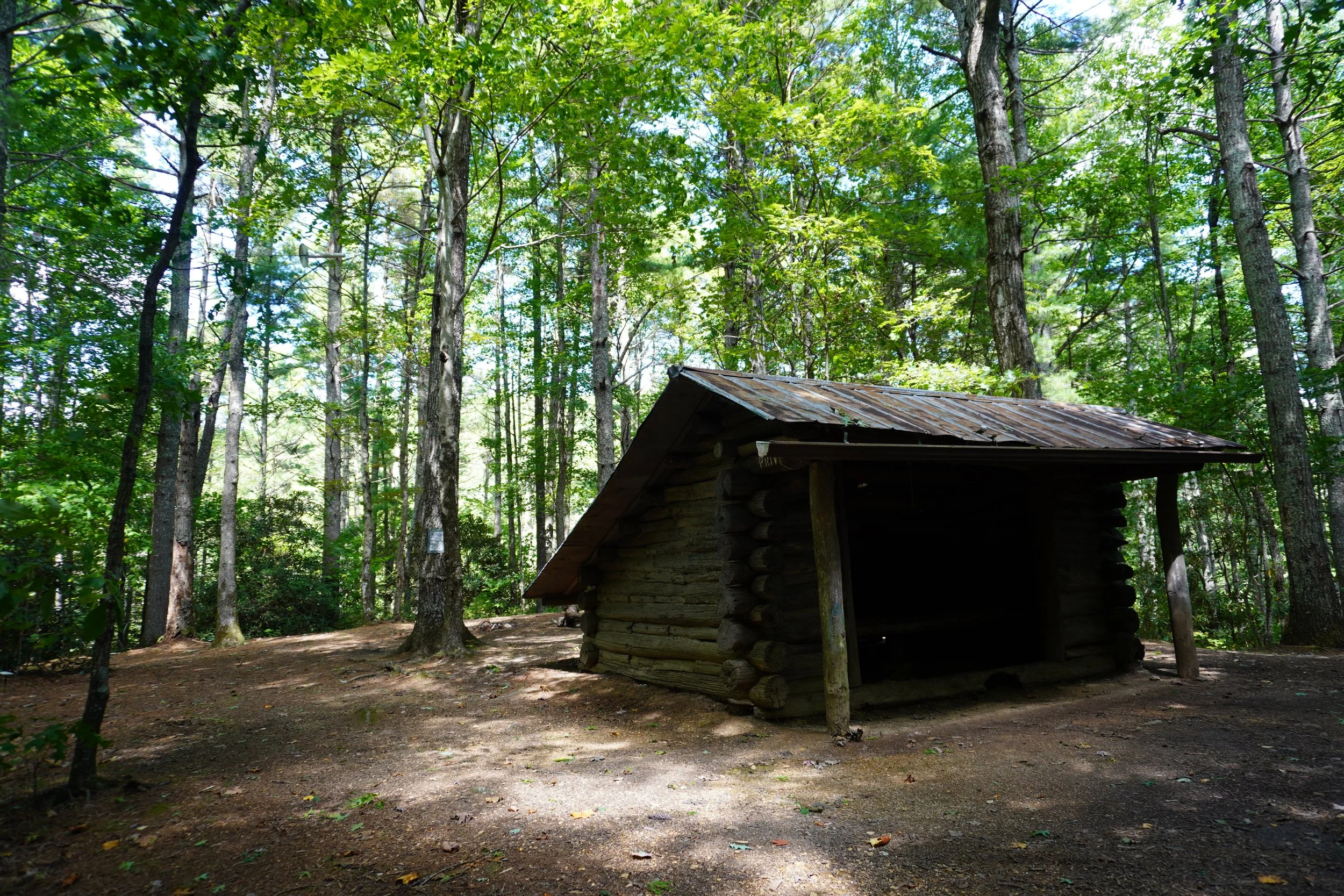
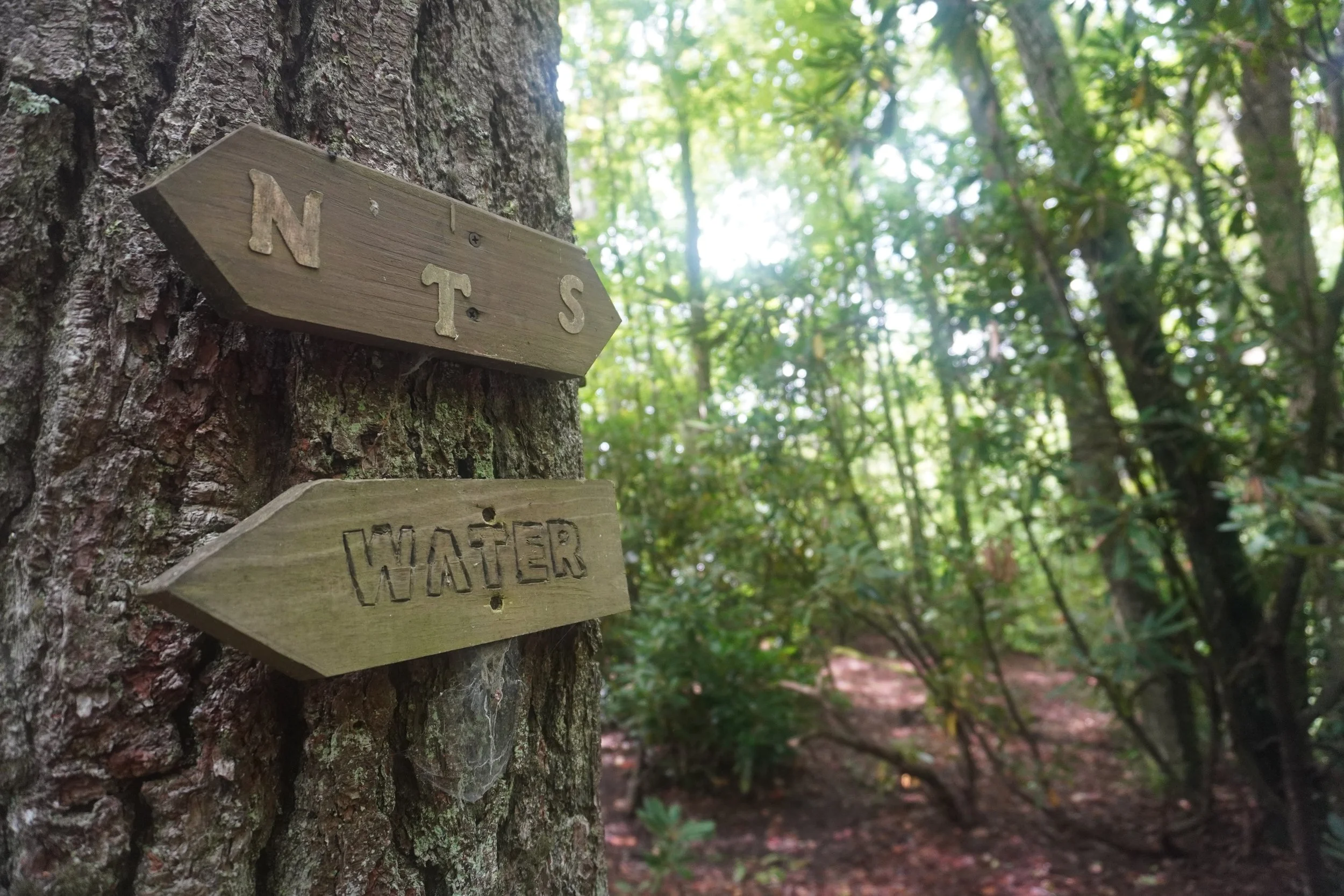
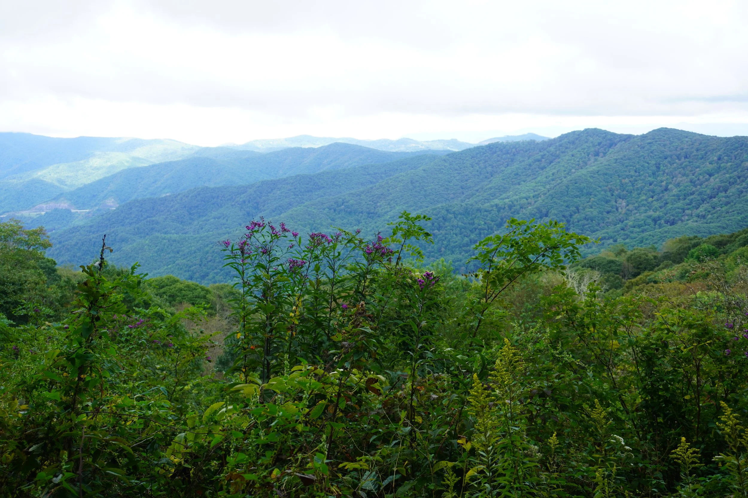
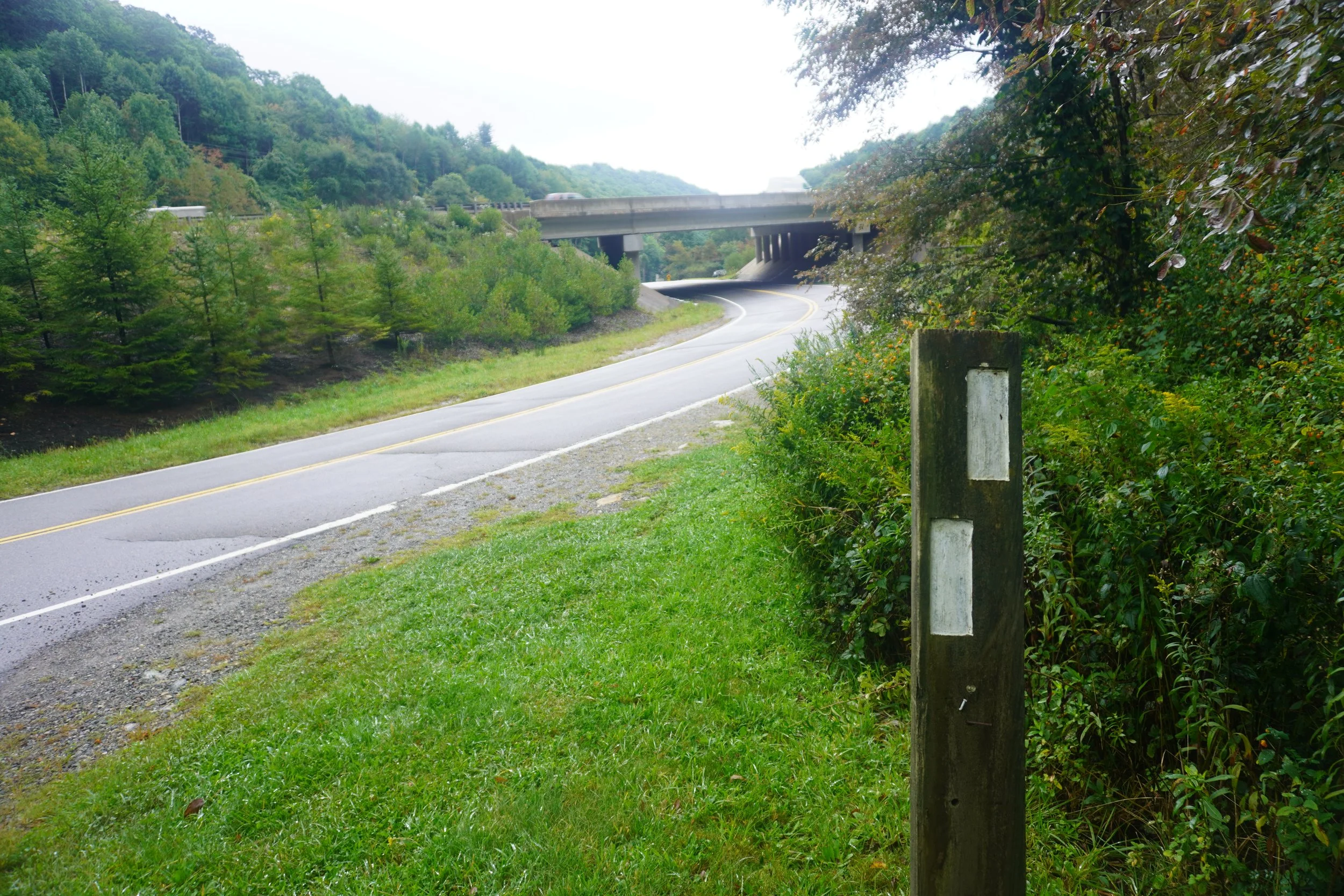
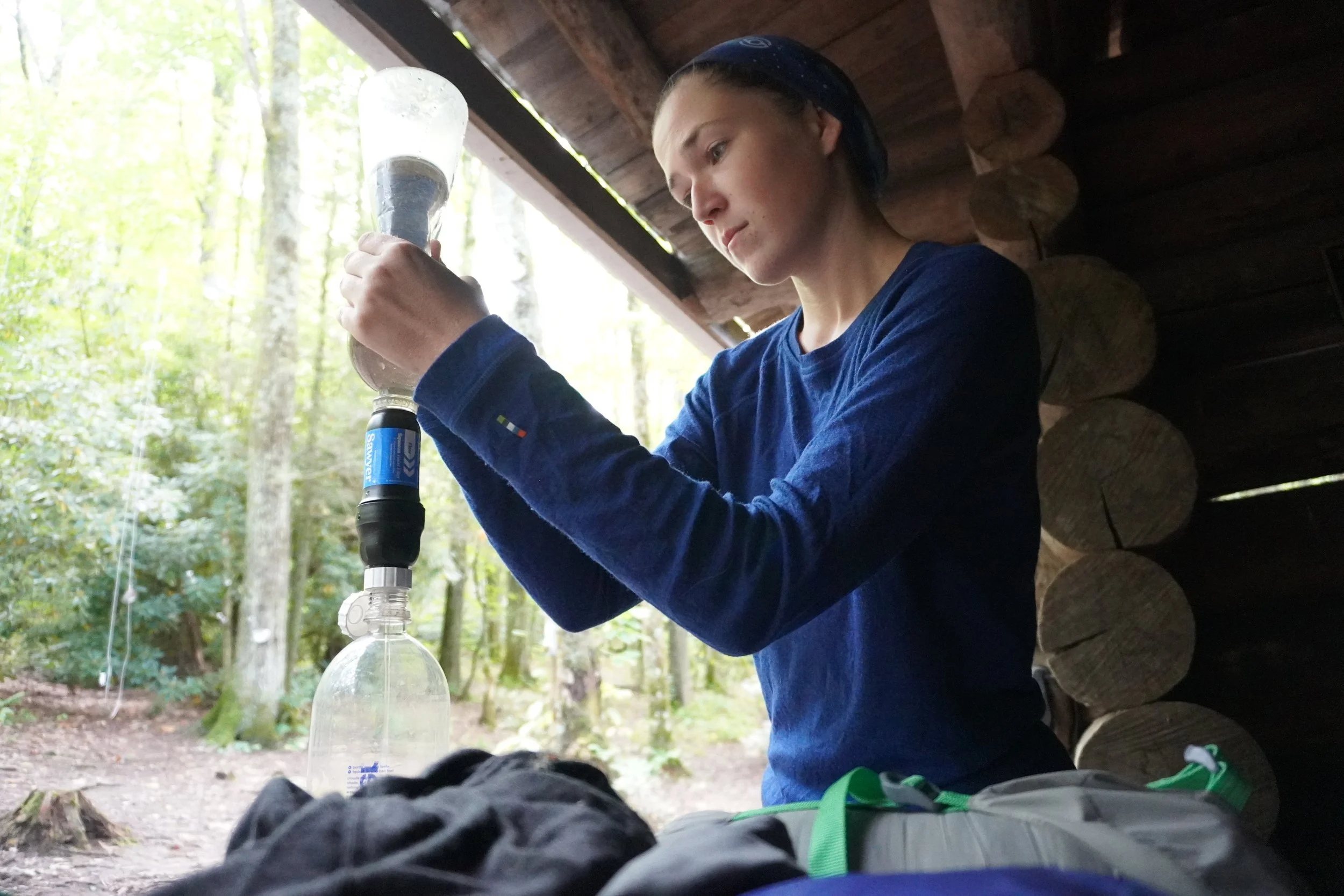
Enjoy my gallery with 51 pictures of the AHR below ⬇️ Click the photos to view full screen.


